
Runca Trail Lower: Runca Höhe – Promenada Flims
Mittel
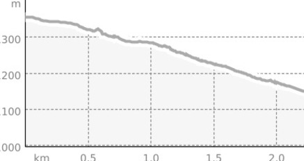
3.1 km
0:15 h
0 Hm
262 Hm
3 Bilder anzeigen
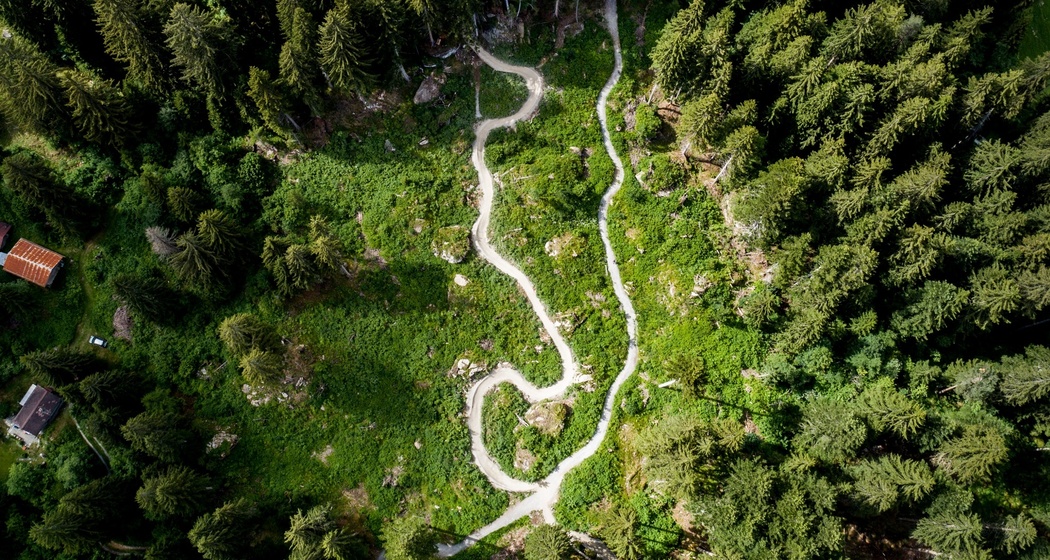
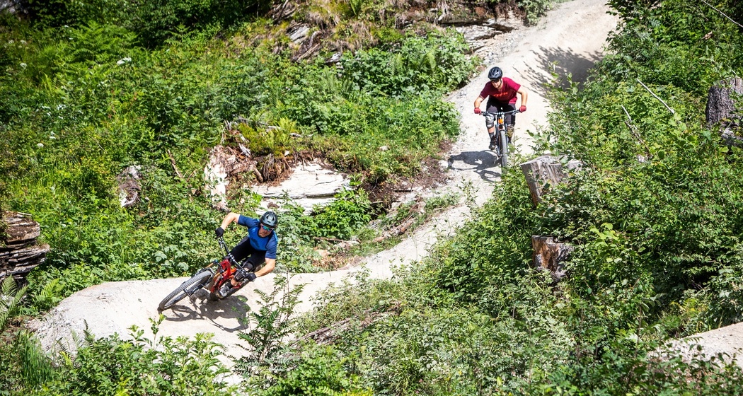
Starting at Runcahöhe you're entering the Lower Runca Trail to ride down to Flims with maximal flow. Pump it!
Beste Jahreszeit
Jan
Feb
Mär
Apr
Mai
Jun
Jul
Aug
Sep
Okt
Nov
Dez
Start
Runcahöhe
Ziel
Flims, mountain railways
Koordinaten
46.839803, 9.261251
Details
Beschreibung
The second half of the Runca Trail begins at Runcahöhe. Wooden elements connect rocks to form jumps, and the trail winds its way through the rocky terrain of the Flims landslide. The trail offers the perfect gradient for a flowy trail and is considered by bikers to be the best flow trail in Switzerland. Jumps alternate with banked turns and small side hits, and you flow parallel to the Connbächli stream down to Flims.
Sicherheitshinweis
Always wear appropriate protection (helmet, knee & elbow guards)
Anfahrt
Öffentliche Verkehrsmittel
To Chur by train and from there with the PostBus to Flims.
Anreise Information
Leave the autoroute A13 at exit no 13 "Reichenau/Tamins" and follow the road to Flims
Parken
Use the carpark "Stenna" in Flims next to the mountain railways.

Verantwortlich für diesen Inhalt Flims Laax Falera Management AG.

Diese Webseite nutzt Technologie und Inhalte der Outdooractive Plattform.