
San Bernardino - Pian San Giacomo
5 Bilder anzeigen
A route suitable for families that winds through various types of landscapes around the village of San Bernardino.
Details
Beschreibung
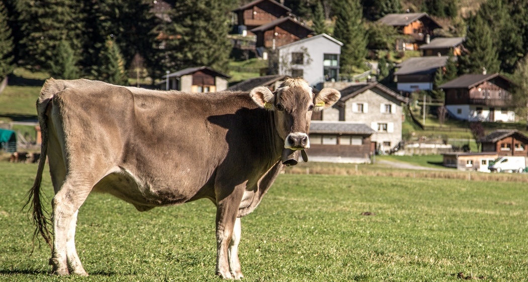
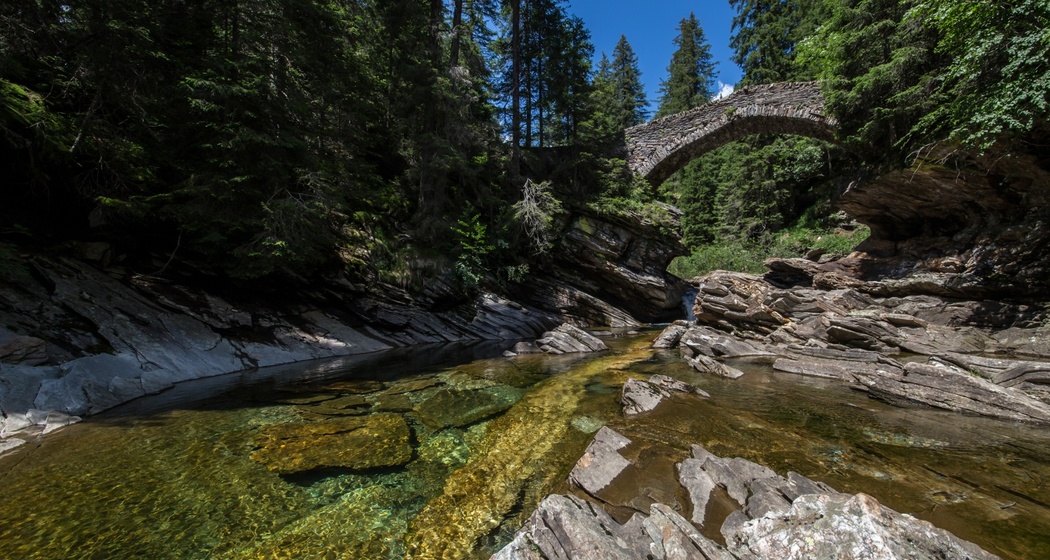
The route starts from the village of San Bernardino and follows the splendid Moesa river, continuing along the San Remo forest surrounding the Sports Center, where in summer you can practice various sports including tennis, beach volleyball, and minigolf. It continues past Lake d'Isola and descends towards Pian San Giacomo through meadows and fir forests. You can return to San Bernardino by way of the Valley of Silence. On the trail, the Alpe Piandoss will soon stand out, where hospitality and good food are a given. Then, the descent begins along the slopes of Pian Cales, circling around the ski facilities, where the melody of cowbells from grazing cows will spread through the air.
Sicherheitshinweis
https://www.protectiondestroupeaux.ch/it/map/
Anfahrt
Öffentliche Verkehrsmittel
San Bernardino can be reached both from the north and south via train and postbus connections (from the north: train Zurich - Chur, then postbus; from the south: train Chiasso - Bellinzona, then postbus).
Direct services excellently connect Moesano with the capitals of Ticino, Bellinzona, and of the canton of Grisons, Chur.
Anreise Information
Thanks to highway connections from the north A3 Zurich - Sargans and A13 Sargans - San Bernardino and from the south A2 Chiasso - Bellinzona and A13 Bellinzona - San Bernardino, the village is conveniently accessible all year round.
Parken
Behind the San Bernardino Hostel there is a large parking lot where you can comfortably park your car.


Verantwortlich für diesen Inhalt Ente Turistico Regionale del Moesano (ETRM).
Dieser Inhalt wurde automatisiert übersetzt.

Diese Webseite nutzt Technologie und Inhalte der Outdooractive Plattform.