
Scharmoin-Foil Cotschen-Parpaner Rothorn
Open
Schwer
4.4 km
2:55 h
952 Hm
0 Hm
3 Bilder anzeigen
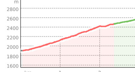
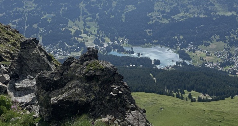
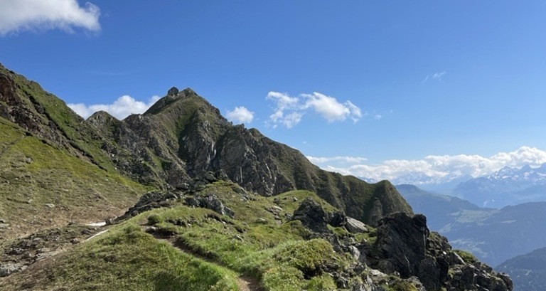
Beautiful hike to Parpaner Rothorn from the Scharmoin middle station to Parpaner Rothorn.
Beste Jahreszeit
Jan
Feb
Mär
Apr
Mai
Jun
Jul
Aug
Sep
Okt
Nov
Dez
Koordinaten
46.742515, 9.573243
Details
Beschreibung
At the Scharmoin middle station, a path leads right to the mountain peak Foil Cotschen. Once you have crossed the edge, there are only about 300 meters of elevation left to the Rothorn summit.


Verantwortlich für diesen Inhalt Arosa Lenzerheide.

Diese Webseite nutzt Technologie und Inhalte der Outdooractive Plattform.