Schlittelweg Hinterrhein


5 Bilder anzeigen

The toboggan run in Hinterrhein is located in the immediate vicinity of the village.
Details
Beschreibung
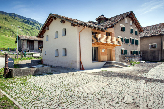
must be earned: On the footpath it goes from Hinterrhein along the village stream 1 kilometer and 150 meters high to Müss, which is the starting point of the toboggan run. The toboggan run is also suitable for children. The snow glistens on the roofs of the dark brown Walser houses, the sun shines from the steel-blue sky. The surrounding mountains elicit an ohhh....
Catering facilities are available in Hinterrhein as well as in the surrounding villages in the Rheinwald.
Information on the condition of the toboggan runs in the Rheinwald can be found here.
Geheimtipp
Ausrüstung
Toboggans can be rented in the sports shops in Splügen.
Wegbeschreibung
Müss - Hinterrhein
Anfahrt
Öffentliche Verkehrsmittel
Hinterrhein can be reached by post bus. Timetable information under www.sbb.ch.
Anreise Information
On the A13, take exit 32-Hinterrhein. Plan your journey with the Google route planner.
Parken
There is no official car park in Hinterrhein, which is why we recommend arriving by Postbus.
Verantwortlich für diesen Inhalt Viamala Tourism.
Dieser Inhalt wurde automatisiert übersetzt.

Diese Webseite nutzt Technologie und Inhalte der Outdooractive Plattform.


