Segnes Trail tour (704)
Schwer
9.7 km
1:05 h
6 Hm
1135 Hm
4 Bilder anzeigen
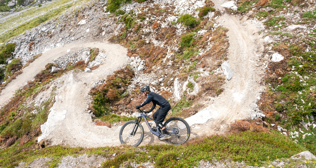
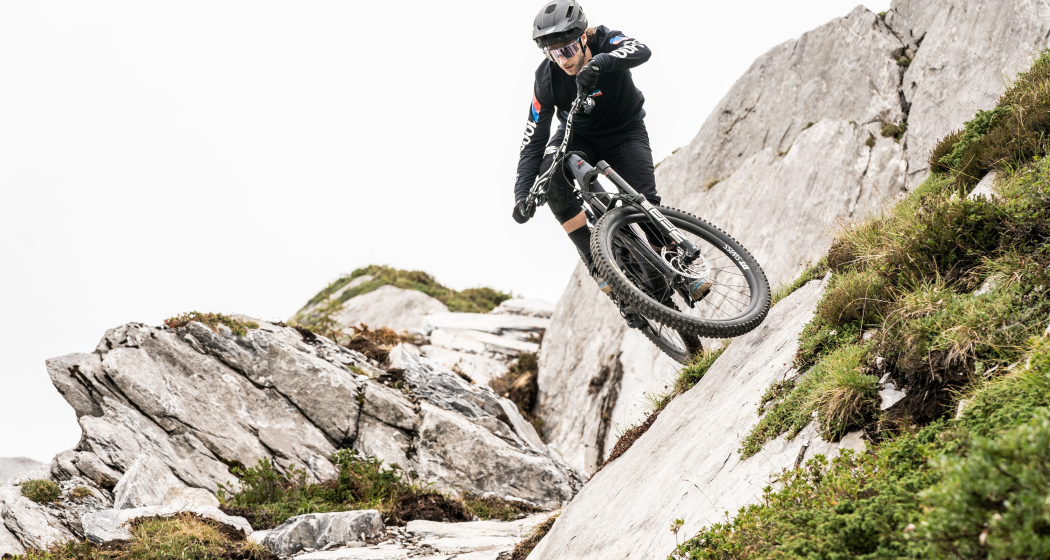
Do you love variety on your bike? The Segnes Trail, with its natural character and many playful elements like stone slab jumps and banked turns, is perfect for you.
Beste Jahreszeit
Jan
Feb
Mär
Apr
Mai
Jun
Jul
Aug
Sep
Okt
Nov
Dez
Start
Flims
Ziel
Flims
Koordinaten
46.867468, 9.240103
Details
Beschreibung
Do you love variety on the bike trails? The Segnes Trail is made for you with its natural character and many playful elements such as stone slabs, jumps and bends. The trail can be characterised as a moderately difficult technical enduro single trail and is aimed at advanced bikers. The entrance is particularly challenging, with several hairpin bends in the stony terrain. Towards Runca Trail, the trail becomes increasingly flowing and playful.
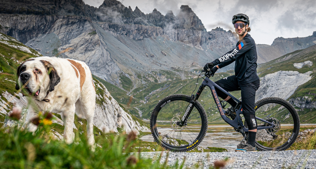
With the versatile elements and the starting point at the foot of the UNESCO World Natural Heritage Tectonic Arena Sardona, it offers a unique riding experience in Graubünden.
One trail is not enough. After the 2.7-kilometre descent, the Segnes Trail joins the flowing Runca Trail, which leads back to Flims.
Wegbeschreibung
Take the mountain railway from Flims to Segnes and from there follow the signs with route no. 694
Anfahrt
Öffentliche Verkehrsmittel
From Chur take the Postauto Bus to Flims Bergbahnen.
Infos and tickets via sbb.ch
Anreise Information
By car: Highway A13 from Zurich to Chur, then take exit no. 18 (Reichenau/Flims) to Flims
Parken
Parking in the public parking house Stenna next to the mountain railway station in Flims.
Verantwortlich für diesen Inhalt Flims Laax Falera Management Ltd..

Diese Webseite nutzt Technologie und Inhalte der Outdooractive Plattform.
