
Senda Ils Lejins
12 Bilder anzeigen
Details
Beschreibung
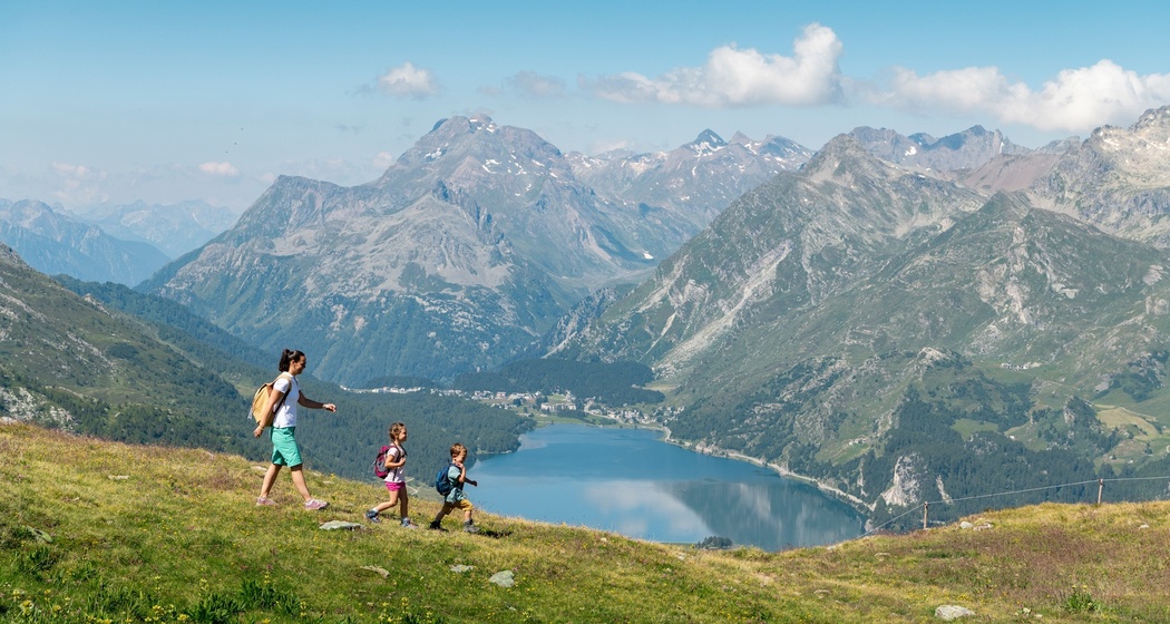
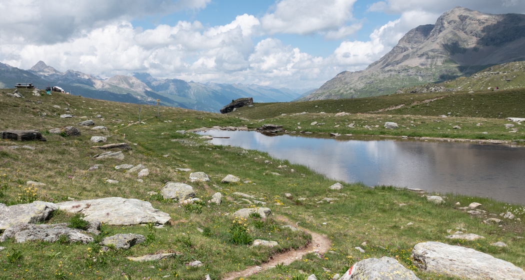
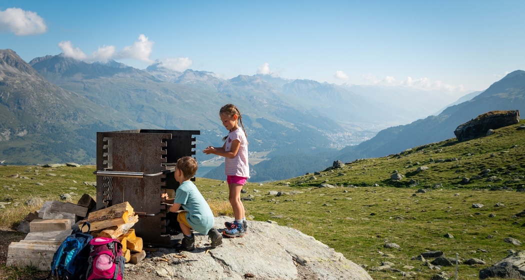
The starting point is the Furtschellas mountain station, at 2,312 meters above sea level. From there, the 2½-hour loop trail first heads toward Alp Munt. Soon, the trail branches off to the left, and a short, steep section lies ahead. And before long, you’ll see the first of the six small mountain lakes, Lejin Cristal, followed by Lejin Magnetit, Lejin Malachit, Lejin Rhodonit, Lejin S-chaglia, and finally Lejin Epidot. At every turn, you’ll enjoy the view up at the icy peaks and rocky flanks of the Corvatsch massif. Numerous rest areas invite you to linger. Refreshments are available at the Rabgiusa Hut or at Restaurant La Chüdera, with its spacious terrace offering panoramic views.
Geheimtipp
Sicherheitshinweis
The trail is also marked with posts bearing the official hiking trail designation—white–red–white (mountain hiking trail).
This themed trail is not suitable for strollers!
Wegbeschreibung
Furtschellas - Lejin Magnetite - Lejin Malachite - Rabgiusa - Furtschellas
Corvatsch Water Trail
Anfahrt
Öffentliche Verkehrsmittel
Anreise Information
Parken


Verantwortlich für diesen Inhalt SwitzerlandMobility.
Dieser Inhalt wurde automatisiert übersetzt.