
Sentiero Panoramico
5 Bilder anzeigen
Details
Beschreibung
In principle, it is easy to walk; however, the differences in altitude of 464 m uphill and 825 m downhill should not be underestimated.
For those who want to walk the entire panoramic trail, continue from Soglio towards Savogno on the second day.
Detour: Between 13 April and 7 May 2026, the section between Casaccia and Löbbia is closed due to timber work and will be diverted on the other side of the valley. From Löbbia, the route runs as usual again.
Geheimtipp
Sicherheitshinweis
Detour: Between 13 April and 7 May 2026, the section between Casaccia and Löbbia is closed due to timber work and will be diverted on the other side of the valley. From Löbbia, the route will return to normal.
Ausrüstung
Wegbeschreibung
At the end of the village, follow the descending path or the road towards Vicosoprano as far as the Mulina campsite. About 50 m below the campsite, we turn right past the mill pond and after about 800 m we reach a small forest road. Following the road uphill, we come to Durbegia and thus back onto the original Sentiero Panoramico.
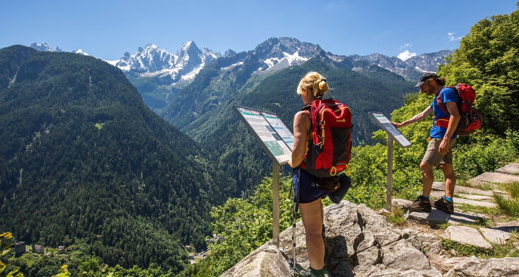
The path soon becomes narrower and leads as a footpath through several ravines and streams. Pass former stables and descend through some clearings to Parlongh. The path remains pretty much at the same altitude until shortly before Soglio, then descends steeply to the green meadows of Soglio.
The hike takes about five hours.
The route can be shortened by walking only the section to/from Vicosoprano (junction shortly before Durbegia) or to/from Stampa (junction at Parlongh).
Anfahrt
Öffentliche Verkehrsmittel
Anreise Information
Parken


Verantwortlich für diesen Inhalt Bregaglia Maloja Turismo.

Diese Webseite nutzt Technologie und Inhalte der Outdooractive Plattform.