
Short Rhine Gorge round by public transport
8 Bilder anzeigen
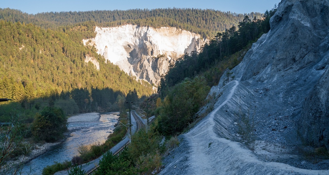
By public transport to the starting point at Sagogn Fanaus and then along the Rhine Gorge to the Trin Mulin railway bridge. A short climb to Trin Mulin and return by public transport.
Details
Beschreibung
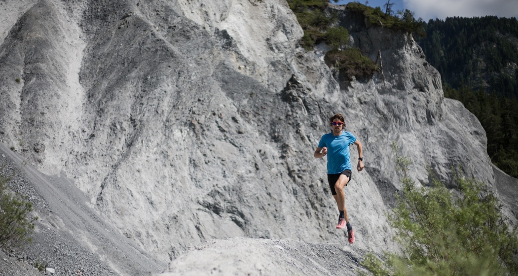
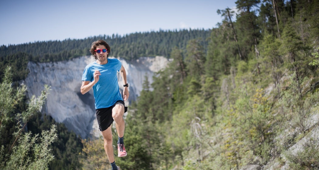
This is the light version of the large Rhine Gorge round. Beautiful and varied trails in a lovely gorge along the Rhine. Impressive views of the opposite steep sides of the gorge can be caught when looking up from the trail.
Geheimtipp
Versam-Safien station offers a cozy place for refreshments. Worthwhile option to walk the Ruinalta.
Sicherheitshinweis
Objectively safe route. Anyone wishing to cool off in the Rhine should not underestimate the current and power of the water.
Ausrüstung
Trail running shoes, running backpack with drink, wind/rain jacket, sun protection, half-fare/general subscription card etc. for public transport as well as money for refreshments on the route.
Wegbeschreibung
From Sagogn-Fanaus first over the asphalt and then down the gravel road to Valendas-Sagogn station - from there follow the Rhine Gorge shoreline path past Versam-Safien station (possibility for refreshments and water refill) - continue along the path and cross the railway bridge to the other side of the Rhine - from there it goes steeply up to Ransun - follow the forest road and paths signposted "Trin Mullin" to the public transport stop.
Anfahrt
Öffentliche Verkehrsmittel
By post bus from Chur to Sagogn-Fanaus.
Anreise Information
By car via motorway A13 from Zurich, exit 18 Flims. To Flims mountain railways, Stenna parking. Or continue to Laax Murschetg mountain railways, parking.
By post bus to Sagogn-Fanaus to start the route.
Parken


Verantwortlich für diesen Inhalt Flims Laax Falera Management AG.

Diese Webseite nutzt Technologie und Inhalte der Outdooractive Plattform.