
Sledding path Curaglia, with hiking ascent
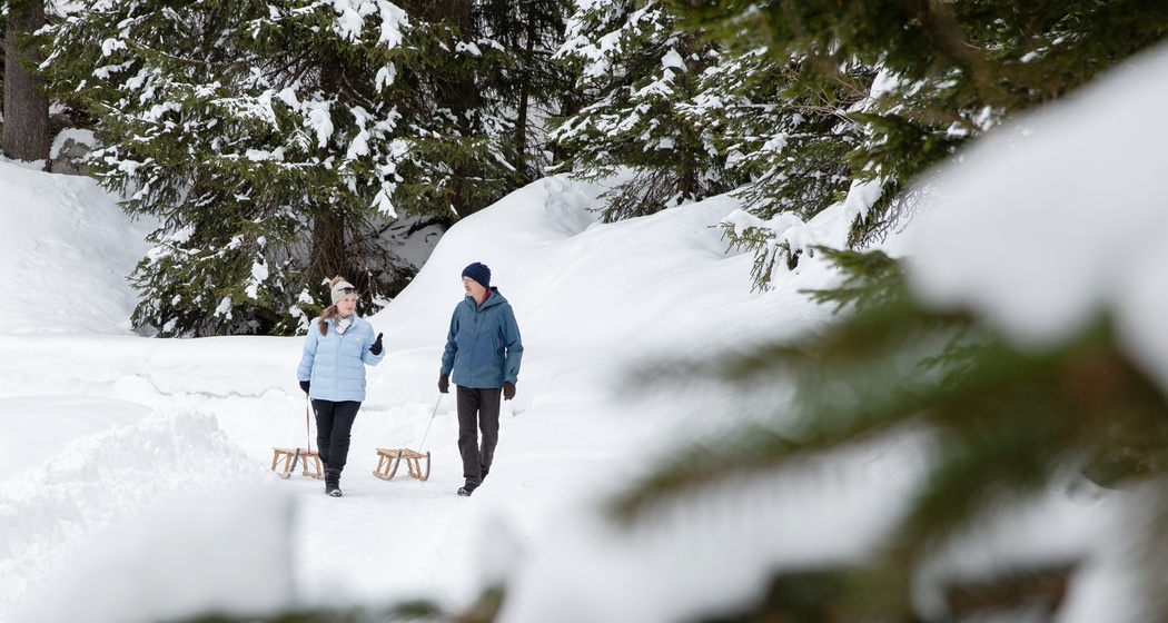
Sledding fun in the romantic Val Plattas near Curaglia
Details
Beschreibung
On foot, it takes us only about half an hour to reach the starting point of this small but very fine sledding run. We hike on a prepared path with little incline through a snowy fir forest to Alp Gliarauns. The terrain is open and sun-drenched, so we take a short break before the descent. It's blowing! And we hike up again right away!
Geheimtipp
Stopover at Hotel Medelina: www.medelina.ch
Sicherheitshinweis
The path is only secured on the side by a snow bank, which can be higher or lower depending on the amount of snow.
Wegbeschreibung
From the parking lot above the village, we follow the road into Val Plattas, which is snow-covered from the sawmill onward. Before the Greppa point, we turn right and thus reach Alp Gliarauns.
Anfahrt
Öffentliche Verkehrsmittel
By train from Sedrun or Ilanz to Disentis. By PostBus to Curaglia
Anreise Information
By car from Sedrun to Disentis or from Ilanz to Disentis. Turnoff to Lukmanier Pass to Curaglia
Parken
Public parking at the upper end of the village

Verantwortlich für diesen Inhalt Sedrun Disentis Tourism SA.

Diese Webseite nutzt Technologie und Inhalte der Outdooractive Plattform.