
SSWR: Weisshorn Speed
The new feature in 2023: short and crisp from the lake to the summit!
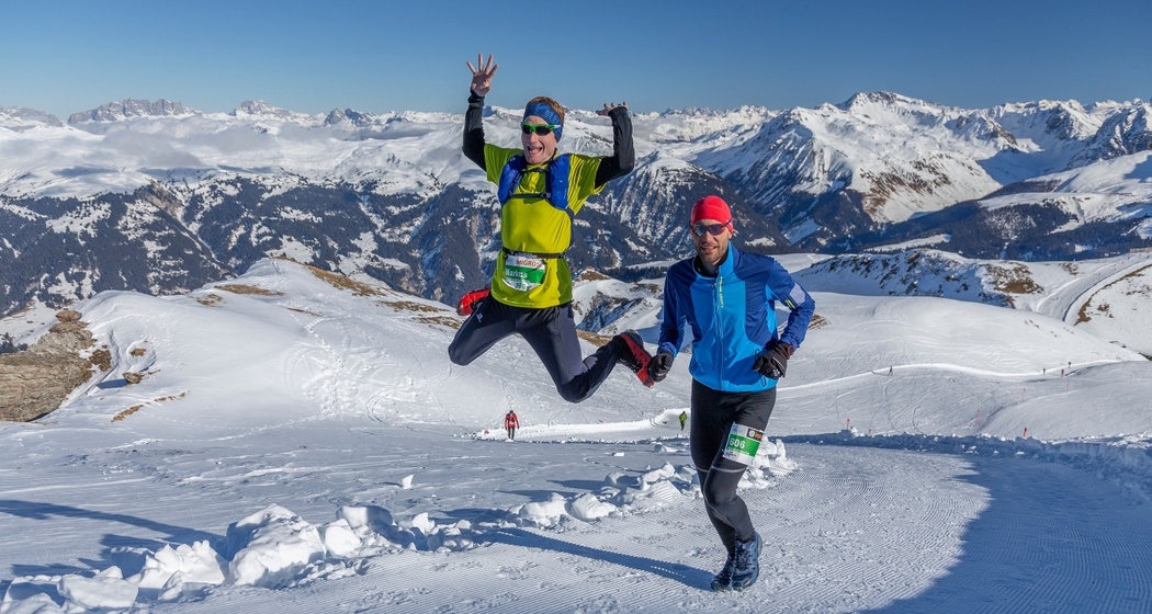
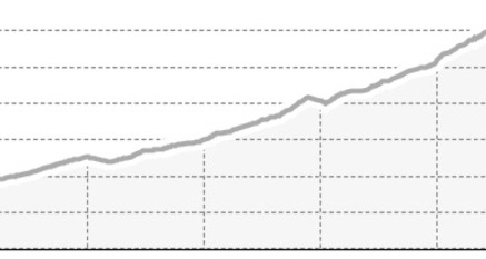
Runners can expect a very challenging route here, which is 100% run on snow. The route leads from Arosa to the popular Weisshorn, overcoming 1,031 meters of ascent and 119 meters of descent over 11.0 kilometers.
Details
Beschreibung
The start along Obersee is relatively leisurely. Then it really starts. The Eichhörnliweg and the Prätschli with bus stop and hotel form the first highlights on the demanding route. Now it goes downhill for a moment – the first and only time. From the Maran junction, there is hardly any respite. The sections in the areas of Arlenwald and Scheidegg offer a welcome change. The last extremely steep kilometer from the Sattelhütte up to the Weisshorn is really tough. On the summit, which is equally well known among winter sports enthusiasts as well as hiking and bike lovers, visitors at 2,649 meters above sea level are rewarded with a breathtaking panoramic view and thus a lucrative reward for the effort.
Anfahrt
Öffentliche Verkehrsmittel
The Rhaetian Railway runs hourly from Chur to Arosa (also in the opposite direction). From Arosa station, it is a short walk of about 300 meters to the competition site
Anreise Information
From Chur via the winding Arosa road to the end of the valley at Arosa.
Parken
In Arosa, you can park your car directly at the competition site in the Ochsenbühl parking garage.
Further information on parking options in Arosa can be found at arosa-parking.com.


Verantwortlich für diesen Inhalt Arosa Lenzerheide.

Diese Webseite nutzt Technologie und Inhalte der Outdooractive Plattform.