
Stage 4 Rhine hike Disentis - Trun
6 Bilder anzeigen
Details
Beschreibung
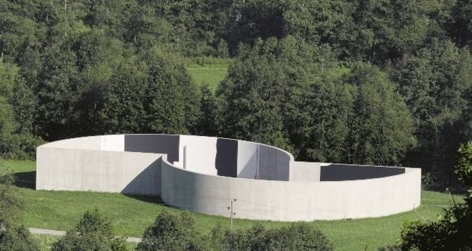
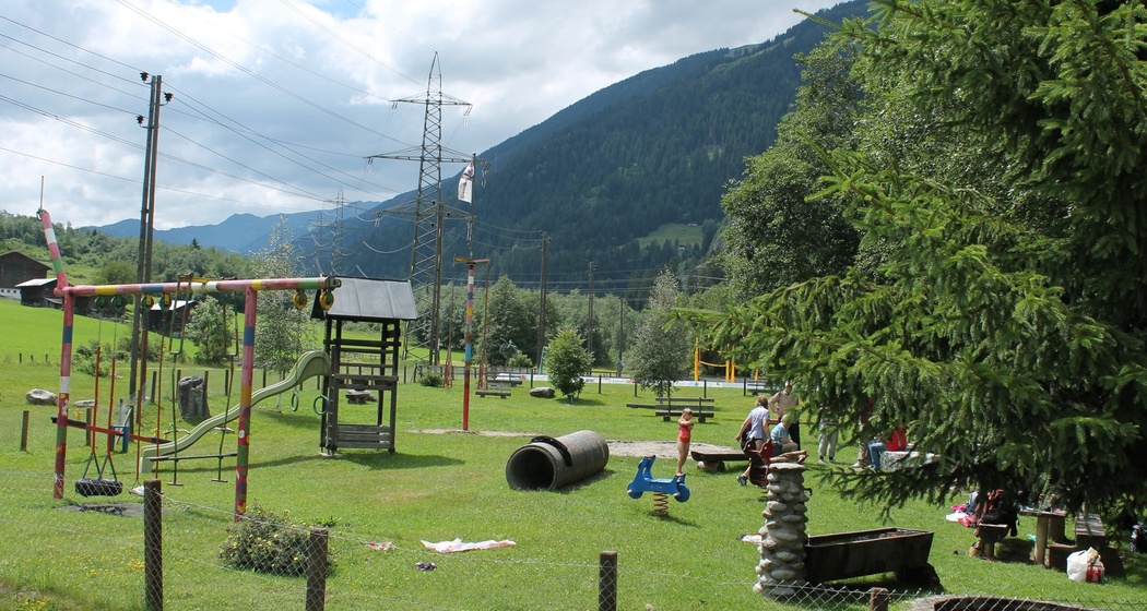
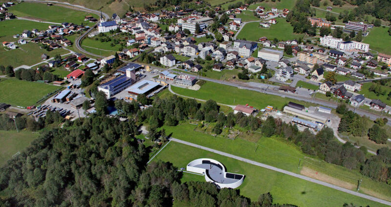
From Disentis train station, follow the natural road to Cavardiras up to the bridge at Brulf. Here turn left and hike to Disla. The Ustria Fravia is located next to the chapel, not directly on our hiking route. The hiking trail junction for the planned hike is located in Disla in the middle of the village, about 200 m before the Ustria. In Madernal you reach a carriage road from the hiking trail. Before the bridge, turn left again. At the power station, the carriage road ends and a hiking trail leads behind the building into the forest. After the forest, you reach the bridge over the Rhine, which you cross. The playground and barbecue area are immediately to the right after the bridge. Now follow the Vorderrhein on the right side through the hamlets of Resgia, Reits, Plazzas for about 6 kilometers until you cross the Rhine again before Trun. You walk along the Senda d'Art to Campadi Trun up to the train station in Trun.
Ausrüstung
Wegbeschreibung
Anfahrt
Öffentliche Verkehrsmittel
Anreise Information
From Andermatt or Ilanz to Disentis or Trun
Parken
Disentis: at the train station
Trun: few at the train station


Verantwortlich für diesen Inhalt Surselva Tourism.

Diese Webseite nutzt Technologie und Inhalte der Outdooractive Plattform.