
Summit route from Surcuolm to Piz Mundaun
11 Bilder anzeigen
Details
Beschreibung
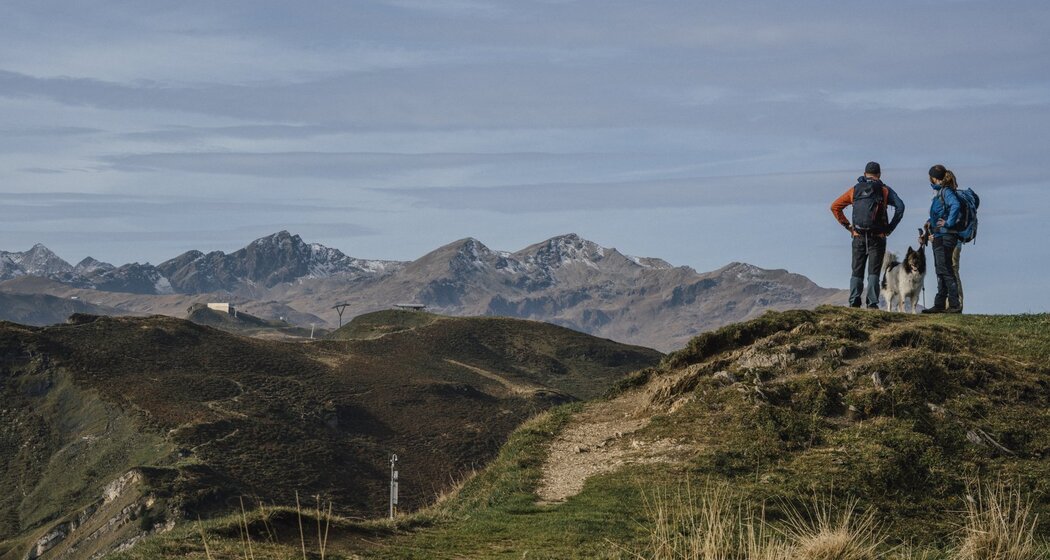
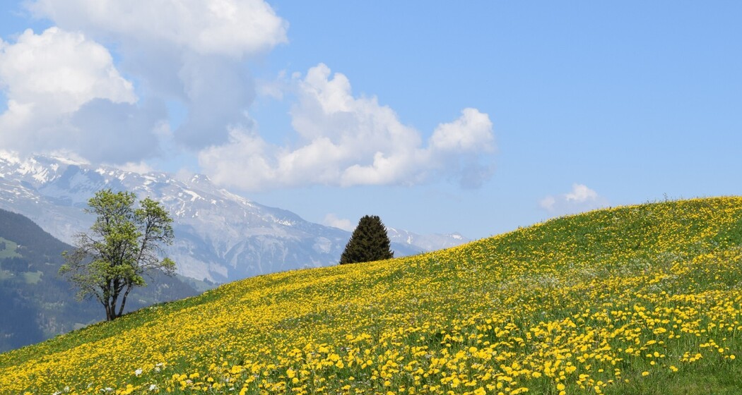
You climb Piz Mundaun on a circular route. A varied route and fantastic views await you.
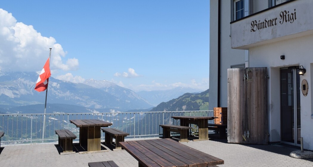
From Surcuolm, a forest and meadow path leads to the inn Bündner Rigi. Now the path often runs steeply up to Piz Mundaun. Those who go slowly can continuously enjoy the increasingly impressive panorama. Once at the top, a visit to the Piz Mundaun platform is a must. Perhaps even a stop at the summit restaurant at the mountain station. You can comfortably descend by chairlift or on foot to Cuolm Sura. From there, the last stage leads back to Surcuolm on a beautiful hiking trail.
Geheimtipp
The panels on the viewing platform reveal the names of the most important peaks. In good visibility, the view extends from the Bernese to the Engadine and the Tyrolean Alps.
Sicherheitshinweis
Ausrüstung
Wegbeschreibung
Anfahrt
Öffentliche Verkehrsmittel
Anreise Information
To Surcuolm village center
Parken
Parking facilities in Surcuolm in the village center.


Verantwortlich für diesen Inhalt Surselva Tourism.

Diese Webseite nutzt Technologie und Inhalte der Outdooractive Plattform.