Surlej-Lej march round
4 Bilder anzeigen
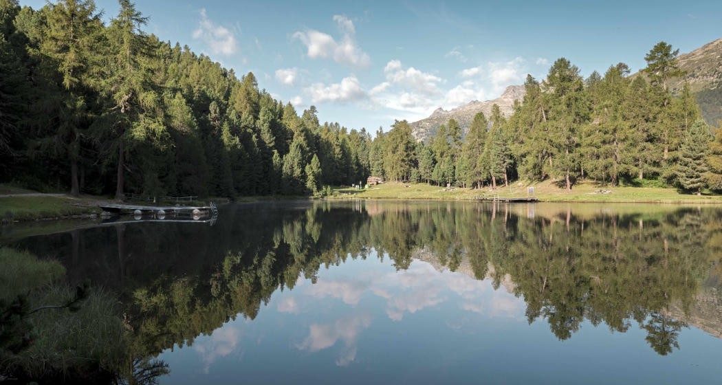
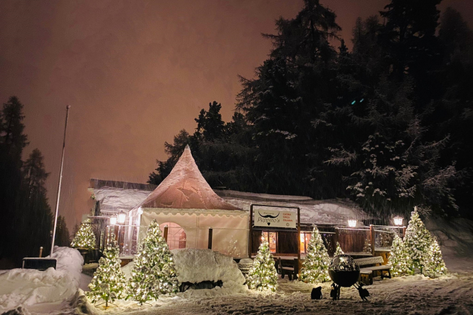
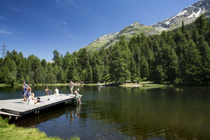
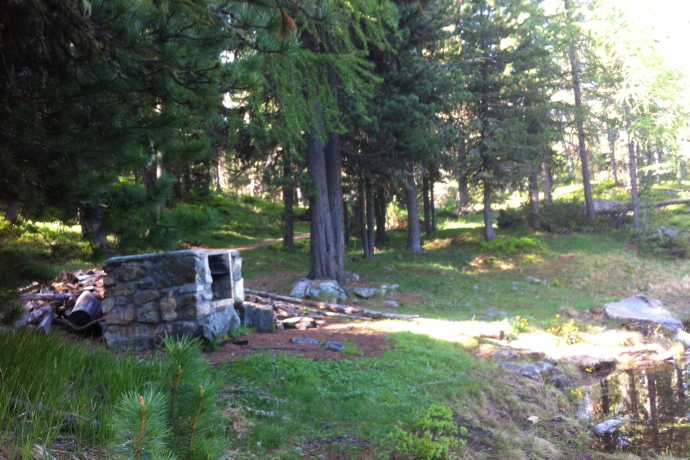
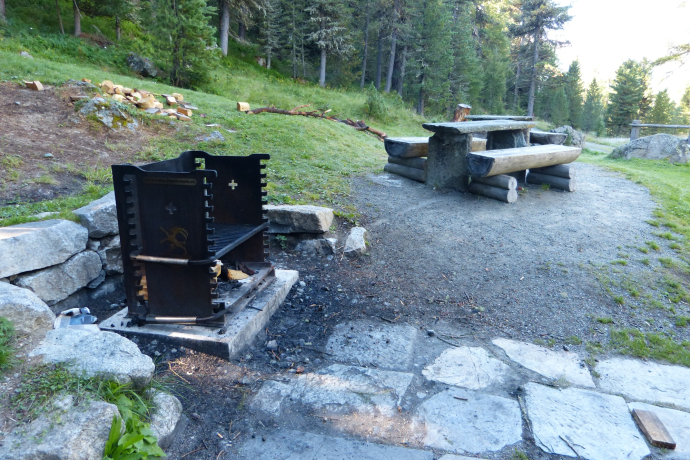
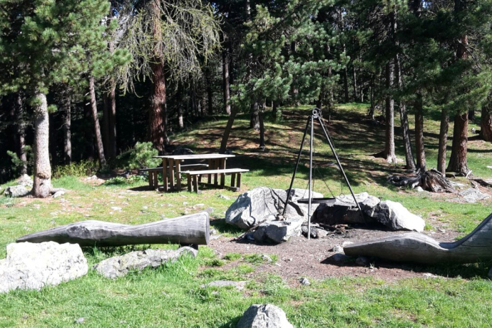
Leisurely trail running tour past moorland lakes with secluded spots and barbecue areas.
Details
Beschreibung
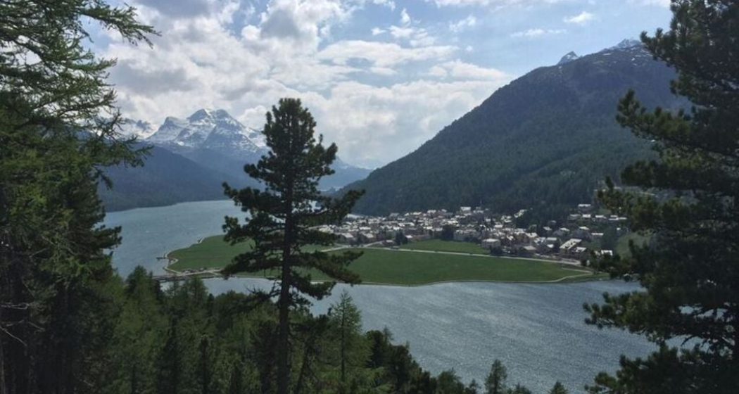
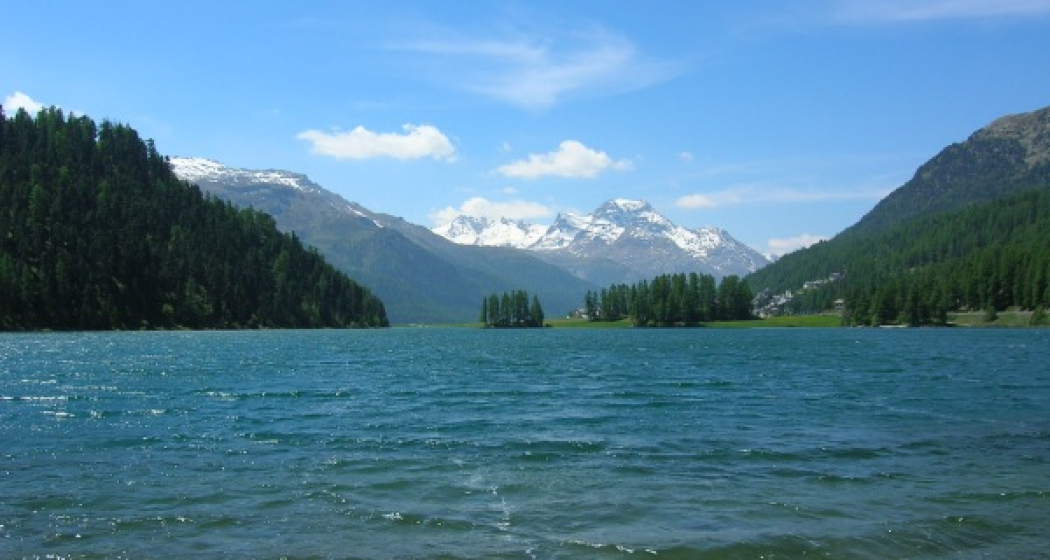
From the bus stop Surlej parking lot down to the Surlej bridge and a short stretch along Lake Champfèr. The hiking trail now leads up to Crest'alta. The ruins of the former restaurant are still visible. The trail continues down again to the end of Lake Champfèr and crosses the bridge. Along the Inn to the other bridge and up to Lej Marsch. Along the lake and down across the campsite you reach the turning point at the tennis hall. A good wide path leads up into the forest on the right and past the start of the former Olympic ski jump to another moorland lake, Lej Zuppò. Now it's not far until you reach the Plüd Lungia plain and the descent back to Surlej.
Further information
Engadin Tourismus AG
Via Maistra 1
CH-7500 St. Moritz
Phone: +41 81 830 00 01
E-mail : allegra@engadin.ch
Internet: www.engadin.ch
Wegbeschreibung
Bus stop Surlej parking lot, Surlej - Crest'Alta - Lake Champfèr - Lej Marsch - Tennis hall - Lej Zuppò - Palüd Lungia - Bus stop Surlej parking lot, Surlej
Verantwortlich für diesen Inhalt Engadin Tourismus AG.

Diese Webseite nutzt Technologie und Inhalte der Outdooractive Plattform.
