
The Lunghin

4 Bilder anzeigen
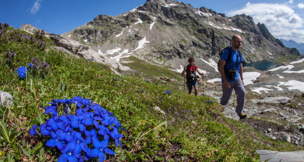
Piz Lunghin is a special place in the geography of the Alps. As a triple watershed, just a few meters here decide whether a raindrop flows east into the Danube, north into the Rhine, or south into the Po river.
Details
Beschreibung
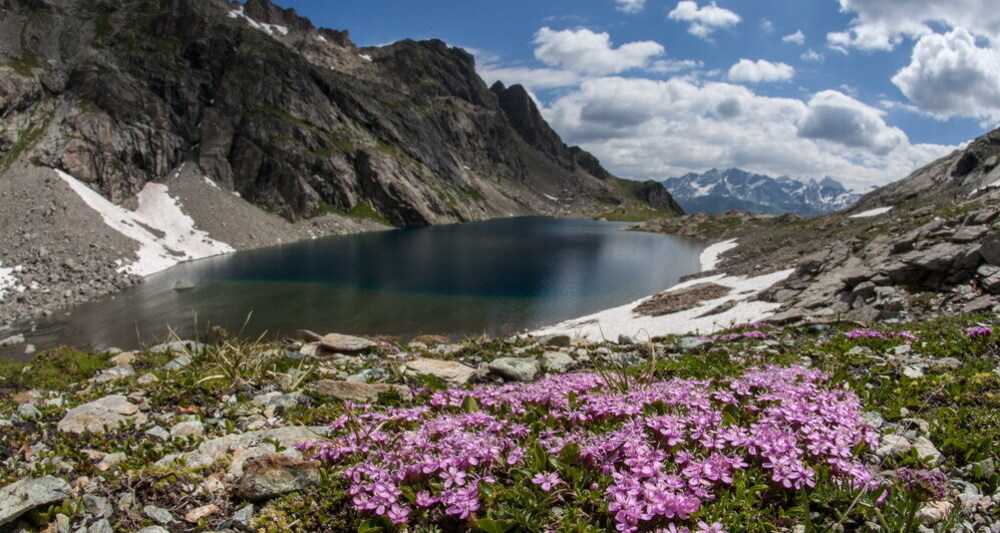
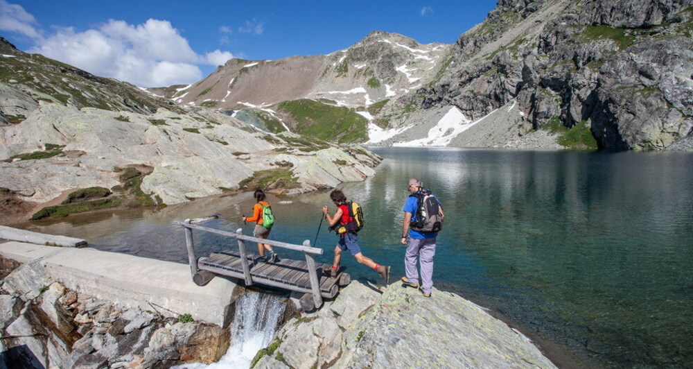
The route from Maloja to the lake, the pass, and Piz Lunghin is a deservedly famous and frequently traveled hike, on well-marked paths with views over the Engadin. Those who want to extend the hike can descend via the Septimer Pass to Casaccia.
From the lake, experienced hikers can reach the summit of Piz Lunghin.
Geheimtipp
From the lake, continue for about 30 minutes to the Lunghin Pass and the watershed.
Sicherheitshinweis
The path from the lake to the Lunghin summit is clearly more complicated than the ascent to the lake. There are some exposed sections and difficult passages. Its white-blue markings denote it as an alpine hiking trail.
Ausrüstung
Wegbeschreibung
The hike branches off from the Strada Cantonale between the Hotel Lunghin and the Protestant church of Maloja. A signpost marks the footpath, which soon leads onto a natural road. This ends at the houses of Pila. From here, you follow the footpath again, which turns right and gently slopes up to a footbridge over the Inn. Here the actual ascent begins. The footpath winds up the slope with frequent hairpin turns. After about 500 meters of altitude gained, you reach a flat hollow. Here you cross the stream again (which later becomes the river Inn) and follow the last ascent over a ridge, behind which Lunghin Lake appears.
The continuation to the Lunghin Pass initially runs quite flat towards the west before the path rises to the wide saddle of the Lunghin Pass.
The descent is on the same route.
To Piz Lunghin: After the rocky elevations above the lake, it is advisable to leave the hiking path and follow a marked trail that gradually leads left along a flattened moraine hill. You will probably have to cross some gentle snowfields. Upon reaching the mountain flank, the ascent becomes significantly steeper. On the west ridge, you encounter the official white-blue trail marks and follow these to the summit (2780 m). Downwards it is better to follow the ridge path back to the saddle of the Lunghin Pass.
The path from the lake to the Lunghin summit is clearly more complicated than the ascent to the lake! There are exposed sections and difficult passages.
Anfahrt
Öffentliche Verkehrsmittel
PostAuto: Line St. Moritz - Maloja - (Chiavenna), Stop: Maloja, Posta
Anreise Information
Follow main road 3 to Maloja.
Parken
Parking near the multipurpose hall in Maloja (opposite the post office)


Verantwortlich für diesen Inhalt Bregaglia Maloja Turismo.

Diese Webseite nutzt Technologie und Inhalte der Outdooractive Plattform.