
Trail of Bondo
Mittel
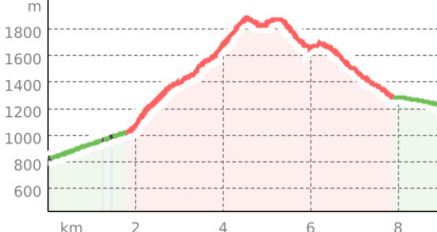
12.5 km
3:00 h
1156 Hm
1157 Hm
3 Bilder anzeigen
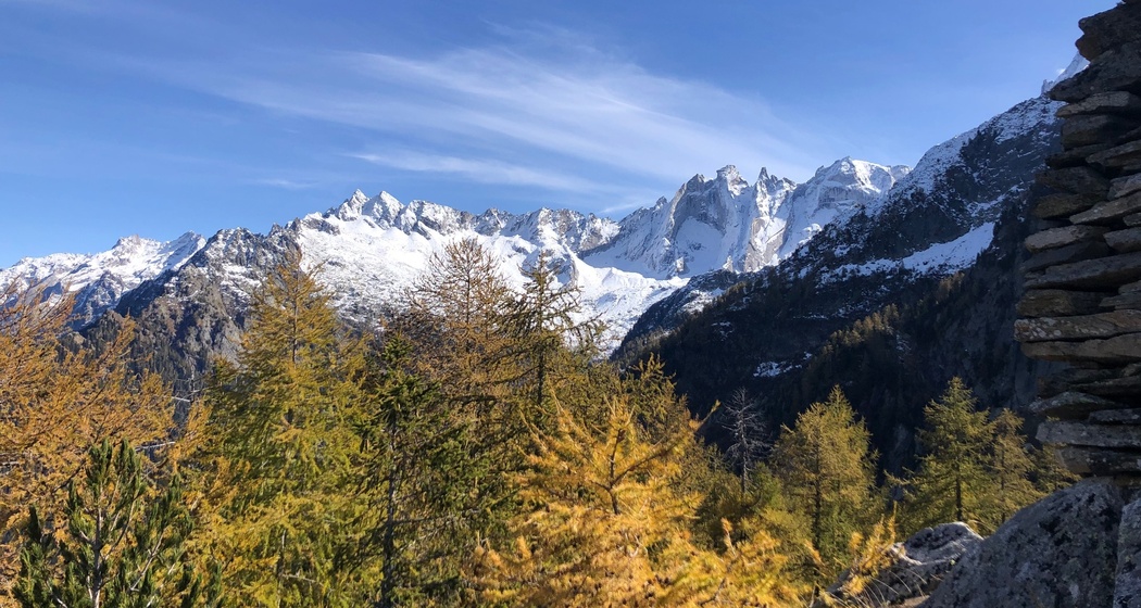
Trail with a view - On the majority of the route, you enjoy outstanding views of the mountains of the Bondasca Valley.
Beste Jahreszeit
Jan
Feb
Mär
Apr
Mai
Jun
Jul
Aug
Sep
Okt
Nov
Dez
Start
Bondo
Ziel
Bondo
Koordinaten
46.334077, 9.554071
Details
Beschreibung
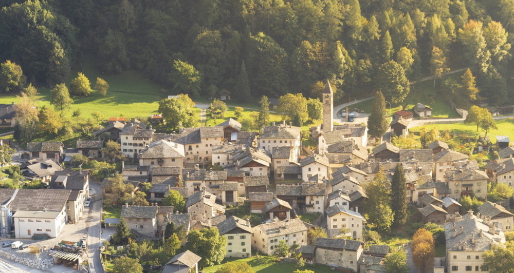
Circular route from Bondo via the path to the Sasc Furä hut to Luvartigh. Then it goes up to Lera d'Sura and down past the foot of Denc dal Luf to Ceresc. From Ceresc, the route goes down the gravel road to Bondo. This route can be shortened or extended at several points.
Geheimtipp
The route can be shortened by following the gravel road from Cugina to Ceresc.
Ausrüstung
Running shoes, water
Wegbeschreibung
Bondo - Cugina - Lera d'Sura - Ceresc - Bondo
Anfahrt
Öffentliche Verkehrsmittel
Anreise Information
Verantwortlich für diesen Inhalt Bregaglia Maloja Turismo.

Diese Webseite nutzt Technologie und Inhalte der Outdooractive Plattform.