Trailrun Bivio - Alp Natons - Bivio


6 Bilder anzeigen

Details
Beschreibung
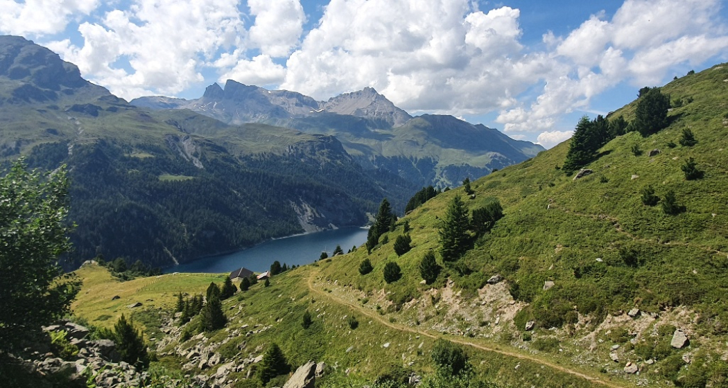
The tour starts in Bivio and passes through the village. After just under a kilometre, a narrow hiking trail branches off to the right from the forest road and leads up in a steep zigzag. The altitude meters are collected so quickly, which is rewarded with a magnificent view. The technical trail now leads only slightly uphill over a plateau. Arriving at the last hilltop, the panorama opens up and Lake Marmorera glitters magically in the depths. The trail now leads back down to Alp Natons. Here you can fortify yourself with a piece of cake and enjoy the view. The way back branches off from the forest road to the left. On narrow paths we go through a beautiful forest to the river Gelgia. From here, the forest road leads back to the starting point.
Verantwortlich für diesen Inhalt Tourismus Val Surses Savognin Bivio AG.
Dieser Inhalt wurde automatisiert übersetzt.

Diese Webseite nutzt Technologie und Inhalte der Outdooractive Plattform.


