
Trailrun Savognin panoramic route (T20 Irontrail)
Schwer
19.8 km
3:30 h
1218 Hm
1214 Hm
3 Bilder anzeigen
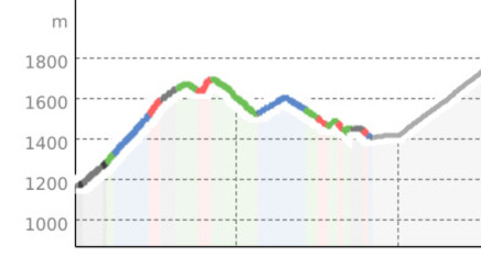
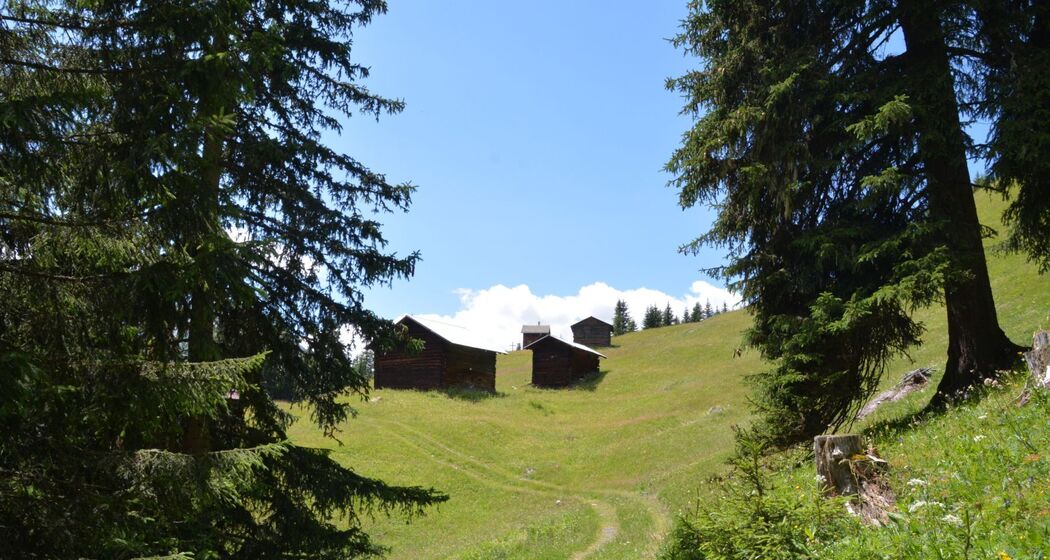
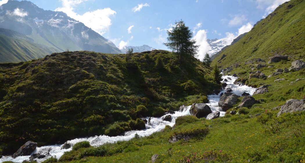
The panoramic tour starts in Rona and leads via Motta Tscharnoz, where a beautiful view and wide panorama are guaranteed, to Savognin. Beautiful, flowing downhill on the bike path to Savognin. The round tour L'Eislas can be ideally attached. Thus a nice route for beginners and advanced riders.
Beste Jahreszeit
Jan
Feb
Mär
Apr
Mai
Jun
Jul
Aug
Sep
Okt
Nov
Dez
Koordinaten
46.595636, 9.594675
Details
Beschreibung
Geheimtipp
With the Val Surses guest card the trip between Salouf – Cunter, Burvagn – Savognin – Bivio – Julier Pass is free.
Ausrüstung
Recommended: Trail running equipment, trail shoes as well as water, gel or bars
Verantwortlich für diesen Inhalt Tourismus Val Surses Savognin Bivio AG.

Diese Webseite nutzt Technologie und Inhalte der Outdooractive Plattform.