Trutg dil Flem – Flimser Wasserweg


20 Bilder anzeigen

Details
Beschreibung
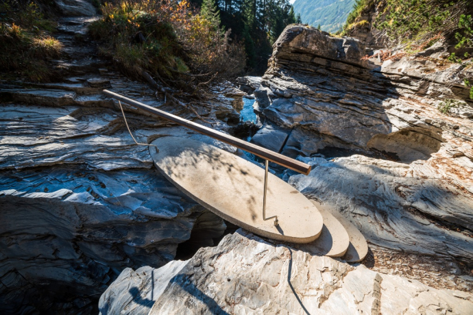
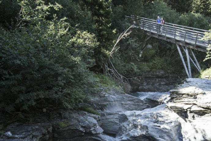
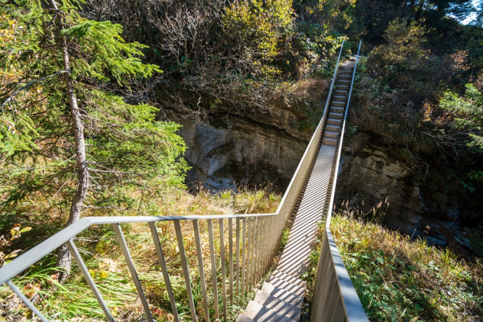
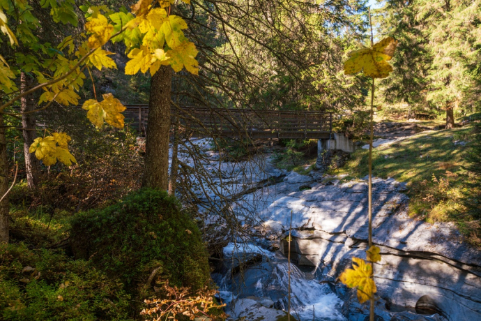
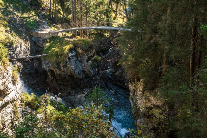
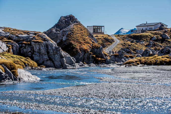
The Flims waterway hike (Romansh: Trutg dil Flem) runs from the waterfall in the lower Segnesboden right to the centre of the village. At times it leads the hiker directly along the river course through the narrow gorge landscapes across unique bridges, past waterfalls, water mills and water slides. At others, it takes you along the upper slopes of the stream’s course, along delightful alpine landscapes and mountain pastures dotted with huts.
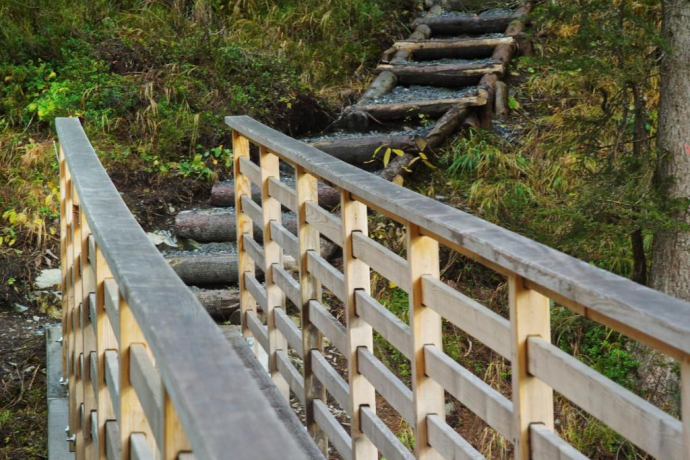
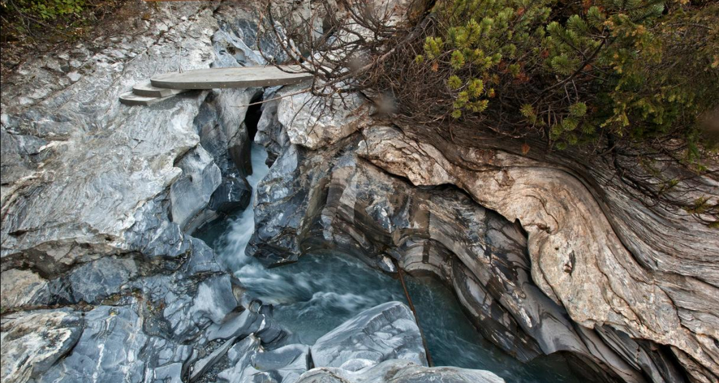
The Flem is crossed a total of six times by in part audaciously designed bridges. They provide the perfect vantage point for taking in the bizarre rock formations that make up the Flem gorges. Finally you reach two platforms close to the valley station, the perfect spot for hikers to listen once again to the symphony of water music.
Geheimtipp
Sicherheitshinweis
To make the Trutg dil Flem accessible also to less accomplished hikers, it is possible to complete the trail in sections using a number of entry and exit points.
Mountain bikers are not permitted on the Trutg dil Flem.
Ausrüstung
Wegbeschreibung
The starting point of the trail is the valley station of the mountain railways in Flims. From there, the route, marked as hiking trail 764, leads in just under four hours and 1,260 meters of elevation gain past seven bridges specially designed for the water trail, all the way to the waterfall on the lower Segnesboden.
Downhill:
Take the FlemXpress from Segnes station.
Take the Nagens Shuttle from Nagens.
Mountain Railways:
Flims Mountain Railways – Segnesboden
Laax Mountain Railways – Nagens station
Anfahrt
Öffentliche Verkehrsmittel
Anreise Information
Parken
Verantwortlich für diesen Inhalt Flims Laax Falera Management Ltd..

Diese Webseite nutzt Technologie und Inhalte der Outdooractive Plattform.
