Trutg dil Flem: option 2. alp Nagens - panoramic hike - trutg dil flem - valley station Flims
Mittel
12.1 km
3:55 h
137 Hm
1022 Hm
5 Bilder anzeigen

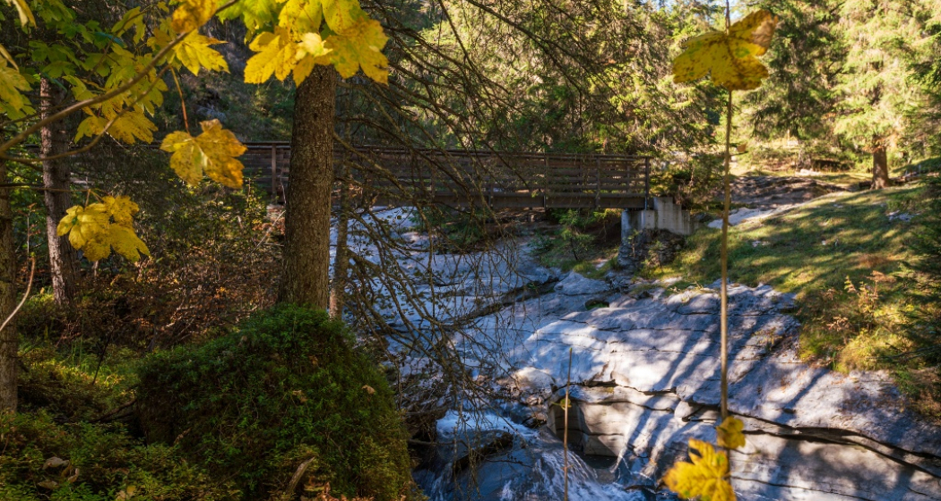
The Trutg dil Flem trail is a challenging hiking trail that can be walked downhill or uphill in one or more sections. This section leads onto it from Alp Nagens.
Beste Jahreszeit
Jan
Feb
Mär
Apr
Mai
Jun
Jul
Aug
Sep
Okt
Nov
Dez
Start
Alp Nagens
Ziel
Flims valley station
Koordinaten
46.855317, 9.235261
Details
Beschreibung
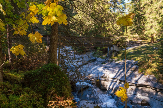
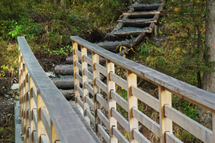
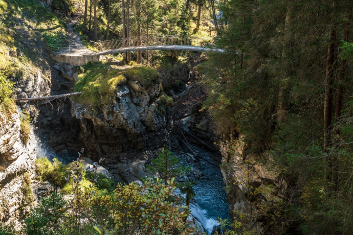
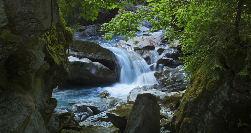
The starting point for this section of the water trail is the waterfall on the Segnesboden, which is approximately one hour's hike from the Alp Nagens bus shuttle station. From there, the trail signposted with route 764, leads past seven bridges specially designed for the water trail and down to Flims.
Sicherheitshinweis
The path is narrow in places and runs alongside the water, children must be supervised at all times
Ausrüstung
Hiking boots or trekking shoes, sunscreen, rain coat, maybe hiking poles
Wegbeschreibung
Alp Nagens - Panoramaweg - Segnes - Waterfall - trutg dil flem - Flims valley station
Anfahrt
Öffentliche Verkehrsmittel
From Chur train station with the post bus to Flims, Laax.
Bus stop: Laax Bergbahnen
Anreise Information
Motorway A13 Chur, exit Flims, follow the main road to Laax
Parken
underground carpark Rocksresort, Laax Murschetg
Verantwortlich für diesen Inhalt Flims Laax Falera Management Ltd..

Diese Webseite nutzt Technologie und Inhalte der Outdooractive Plattform.
