Upper and Lower Segnesboden Trail
Mittel
13.5 km
3:10 h
736 Hm
708 Hm


6 Bilder anzeigen

Exploring the UNESCO World Heritage Site Tectonic Arena Sardona
Beste Jahreszeit
Jan
Feb
Mär
Apr
Mai
Jun
Jul
Aug
Sep
Okt
Nov
Dez
Start
Segnes hut
Ziel
Segnes hut
Koordinaten
46.871814, 9.234114
Details
Beschreibung
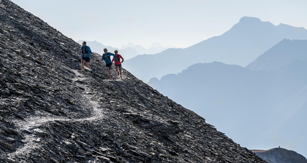
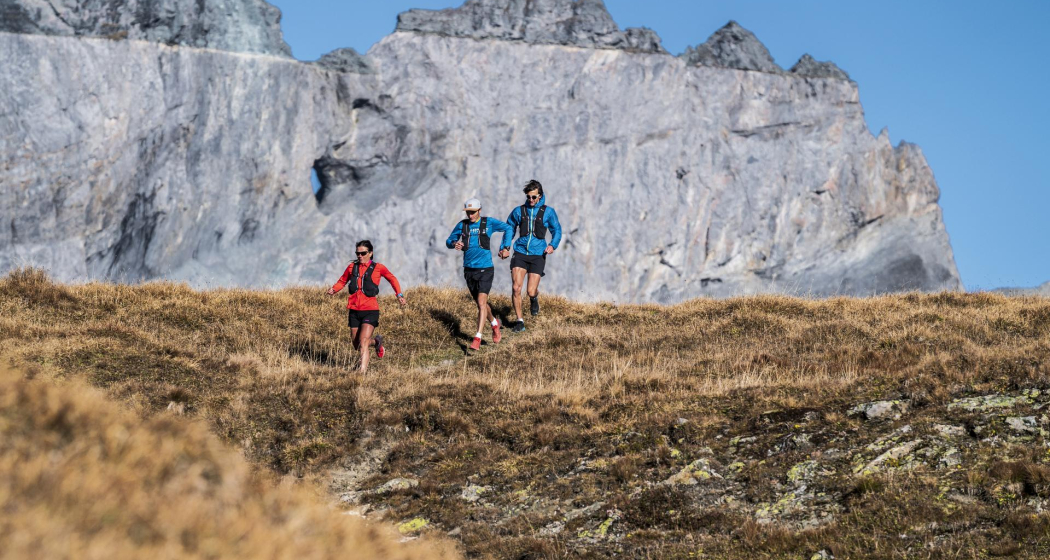
A pleasure endurance tour in the UNESCO World Heritage Tectonic Arena Sardona. Beautiful trails in beautiful nature. Worth an "out-run"!
Geheimtipp
If you are so close to the Martinsloch, you should also take the extra kilometre and walk up. Take a short breather at the mountain lodge. Inspect the tectonic shift and be impressed by the unique landscape.
Ausrüstung
The right trail running shoes, a hydration pack, rain jacket, first aid kit and a portion of joy in what you do.
Wegbeschreibung
Starting at the Segnes hut, first a short flat stretch over the lower Segnes floor - at the fork (Pt. 2092m) take the middle path in a northerly direction - via the stony path up to Fil de Cassons - down to Fuorcla Raschaglius - following the single trail to the hinder end of the upper Segnes floor and back on the other side to Pt. 2461m. Segenes Boden and on the other side back to Pt. 2461m - there take the right path towards the Martinsloch until a path on the left leads down and back to the lower Segenes Boden - via this back to the Segenes hut.
Anfahrt
Öffentliche Verkehrsmittel
With the Postbus from Chur
Stop: Flims Dorf, Bergbahnen.
Anreise Information
By car A13 motorway from Zurich, exit 18 Flims.
Parken
Recommended: Parking garage Stenna, Flims Bergbahnen, with extra charge.
Verantwortlich für diesen Inhalt Flims Laax Falera Management Ltd..

Diese Webseite nutzt Technologie und Inhalte der Outdooractive Plattform.