
Val Cama - Trail running
6 Bilder anzeigen
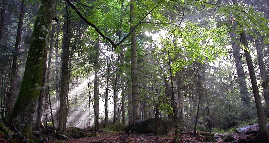
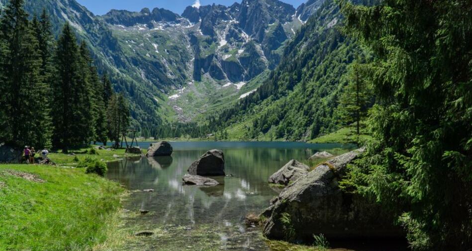
A route leading to Val Cama, a hidden gem of the Val Mesolcina.
Details
Beschreibung
After a demanding climb up steps from Cama to Provesc, the route ascends more gently towards Alp di Besarden and finally to the lake of Val Cama.
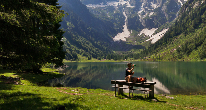
A wonderful panorama, the summit of Pizzo Campanile reflecting in the lake below, and the valley opening before your eyes await those who take on this route.
Anfahrt
Öffentliche Verkehrsmittel
Bus 214 from Mesocco or Castione-Arbedo: stop Cama, Municipio. After crossing the bridge over the Moesa and the one above the motorway, you reach the starting point at Ogreda.
Anreise Information
At Ogreda, the starting point, there are some parking spaces reserved for visitors to Val Cama.


Verantwortlich für diesen Inhalt Ente Turistico Regionale del Moesano (ETRM).

Diese Webseite nutzt Technologie und Inhalte der Outdooractive Plattform.