
Val d'Arlas

6 Bilder anzeigen
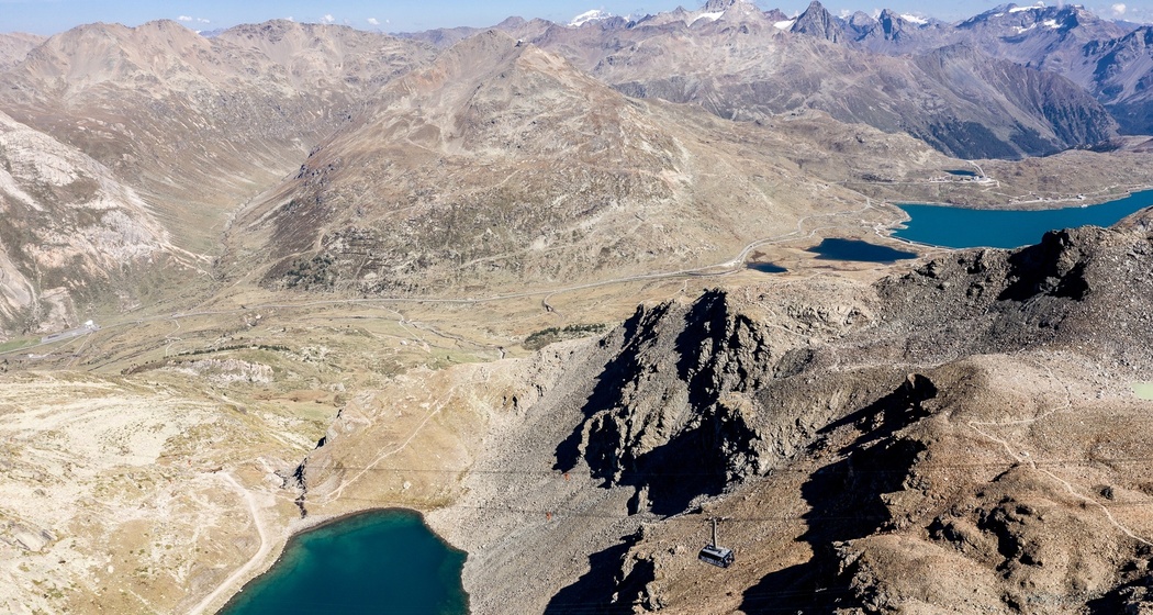
On the descent from Diavolezza, you have a beautiful view of the deep blue lakes Lej da Diavolezza and Lago Bianco.
Details
Beschreibung
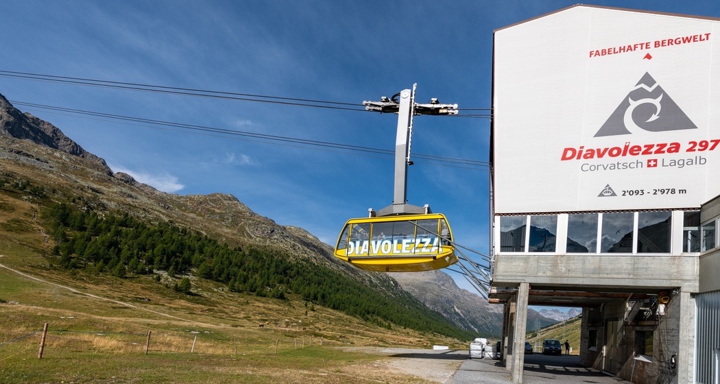
From the Diavolezza mountain station, you ascend to the mountain station of the chairlift. The mountain path leads along the Sass Queder down to Lej da Diavolezza. The path to the lake demands your full attention; it is often wet and partly slippery. Shortly before the lake, turn right and you will soon enter the Val d'Arlas. In Val d'Arlas there used to be a glacier. There you slowly descend on the southern slope of the valley over meadows and trail tracks to the rear Alp Bondo and continue hiking along the railway tracks of the Rhaetian Railway to the valley station of the Diavolezza cable car.
Further information
Engadin Tourism AG
Via Maistra 1
CH-7500 St. Moritz
Phone: +41 81 830 00 01
E-mail: allegra@engadin.ch
Website: www.engadin.ch
Geheimtipp
This route is also recommended in the opposite direction.
Sicherheitshinweis
This hike requires surefootedness.
Wegbeschreibung
Diavolezza mountain station - Diavolezza firn field - Sass Queder - Lej da Diavolezza - Val d'Arlas - Alp da Buond Sur - Alp da Buond Suot - Diavolezza valley station


Verantwortlich für diesen Inhalt Engadin Tourismus AG.

Diese Webseite nutzt Technologie und Inhalte der Outdooractive Plattform.