
Valé - dam path - Gäud
Leicht
2.2 km
0:35 h
7 Hm
24 Hm
6 Bilder anzeigen
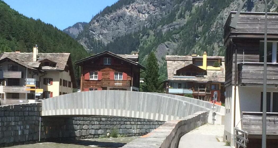
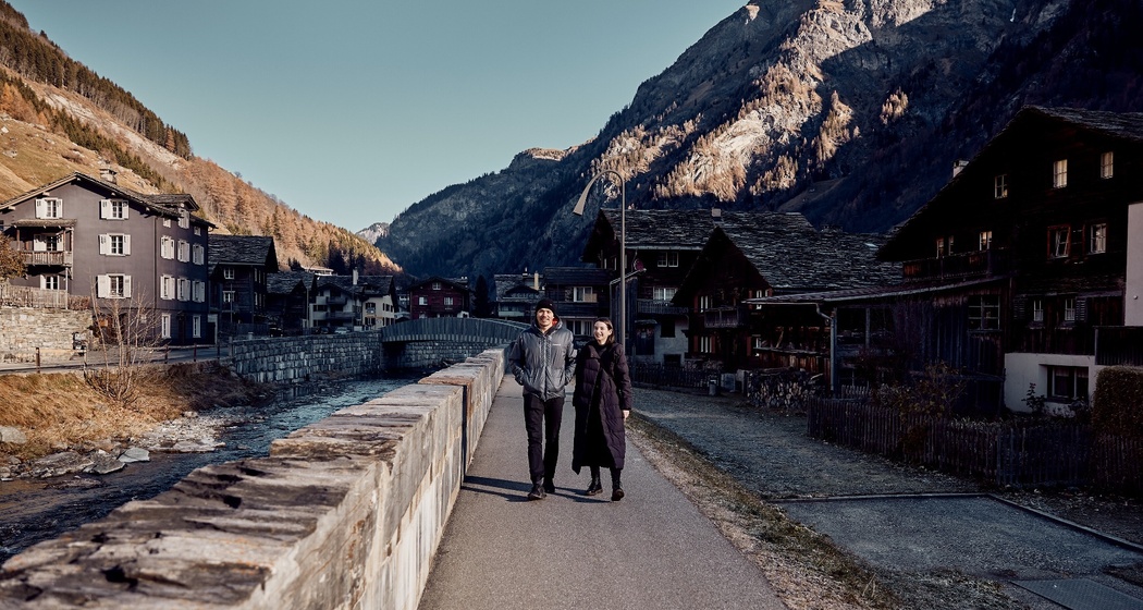
Beautiful walk on the dam path along the Valser Rhine.
Beste Jahreszeit
Jan
Feb
Mär
Apr
Mai
Jun
Jul
Aug
Sep
Okt
Nov
Dez
Start
Valé (Piz Aul Garage), village square or Rovanadabrückli
Ziel
Gäud
Koordinaten
46.61212, 9.176062
Details
Beschreibung
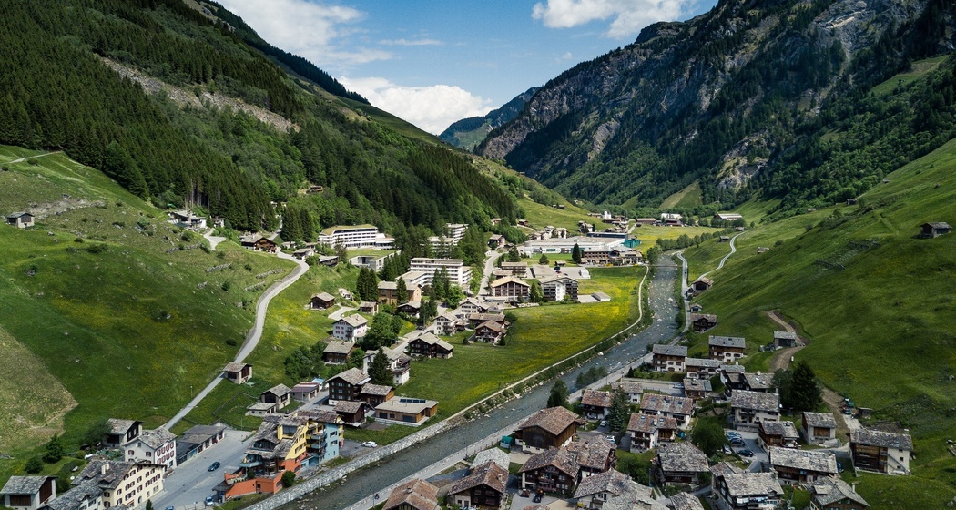
From the village square, the dam path follows the course of the Valser Rhine without major elevation changes. The dam path leads towards Vitaparcours, through the forests and clearings of the idyllic Gäud region, with a view of the rushing Tomülbach as the highlight.
Wegbeschreibung
Leisurely walk in the valley floor along the Valser Rhine.
Anfahrt
Öffentliche Verkehrsmittel
By SBB to Chur, change trains and take the RhB to Ilanz, then the last 20 km by PostBus to Vals.
Anreise Information
Chur - Flims - Laax - Ilanz - Vals
Parken
Paid parking at Schulhaus, Bidem or Bergbahn


Verantwortlich für diesen Inhalt Visit Vals AG.

Diese Webseite nutzt Technologie und Inhalte der Outdooractive Plattform.