Via Glion Etappe 1: Ilanz - Siat

23 Bilder anzeigen

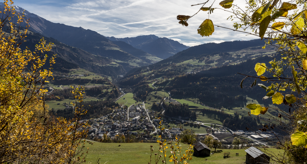
The three beautifully situated villages of Ruschein, Ladir and Siat are located on the south side of the Surselva between 1200 and 1300 metres above sea level.
Details
Beschreibung
The hike takes you from Ilanz up to the culturally important Ruschein. The church hill was already a place of worship and sacrifice in pagan times. The old connecting road leads to Ladir. Above Ladir, a forest path leads towards Siat.
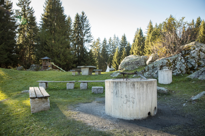
Ladir, Ruschein and Siat are located high above the valley floor and offer a view of the surrounding mountains.
Geheimtipp
In Ruschein, the village shop is also a caffé. The right place to take a breather after the steep climb.
In Ladir, the restaurant La Terrassa invites you to take a break. As the name suggests, the restaurant has a magnificent terrace.
In Siat is the restaurant "Ustria Steila", built by the well-known Graubünden architect Gion A. Caminada.
Sicherheitshinweis
In uncertain weather conditions, the tour should not be started. Weather changes in the mountains are frequent. If a rain front or similar comes up during the hike, you should turn back in time.
144 Emergency call, first aid
1414 Mountain Rescue REGA
112 International emergency call
Ausrüstung
Good hiking boots with a good profile, weather-adapted clothing (rain jacket), ev. Change of clothes, first aid kit, drink, food, ev. Hiking poles.
Verantwortlich für diesen Inhalt Surselva Tourism.
Dieser Inhalt wurde automatisiert übersetzt.

Diese Webseite nutzt Technologie und Inhalte der Outdooractive Plattform.

