
Via Son Giachen: Lü - S-charl
22 Bilder anzeigen
Details
Beschreibung
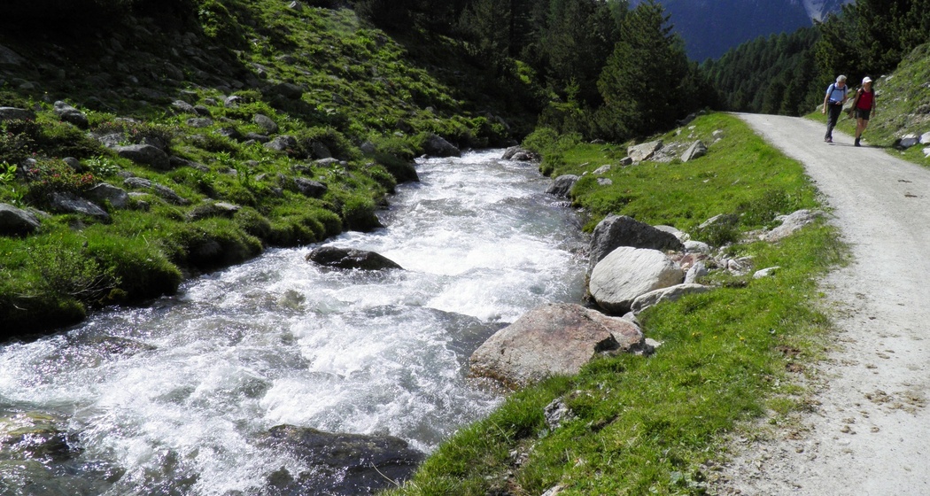
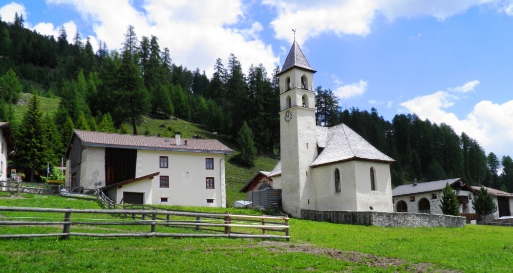
This stage takes us from Val Müstair over the Pass da Costainas to Val S-charl. After the start in Lü, there are another 300 meters of steady ascent through a fragrant larch forest, then it becomes flatter. From Alp Champatsch we enjoy the view of the impressive Ortler massif. Over the high-altitude Alps we reach the "Pass da Costainas". We also switch from the catchment area of Rome/Rambach, Adige/Adige, Po and Adriatic Sea to the catchment area of Clemgia, Inn, Danube and Black Sea.
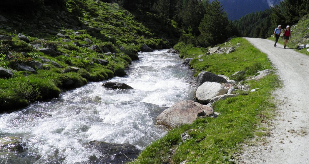
Then the long march through the largely untouched Val S-charl begins, a stretch to enjoy nature and indulge in your thoughts. Shortly before the stage town of S-charl, we cross the "highest closed pine forest in Europe".
Geheimtipp
Wegbeschreibung
17.6.2019 POI God Tamangur designed with new IDeconstructed
POI-Scharl reconstructed with new ID
Verantwortlich für diesen Inhalt Graubünden Ferien.
Dieser Inhalt wurde automatisiert übersetzt.