viaCapricorn: Wergenstein - Glaspass
9 Bilder anzeigen
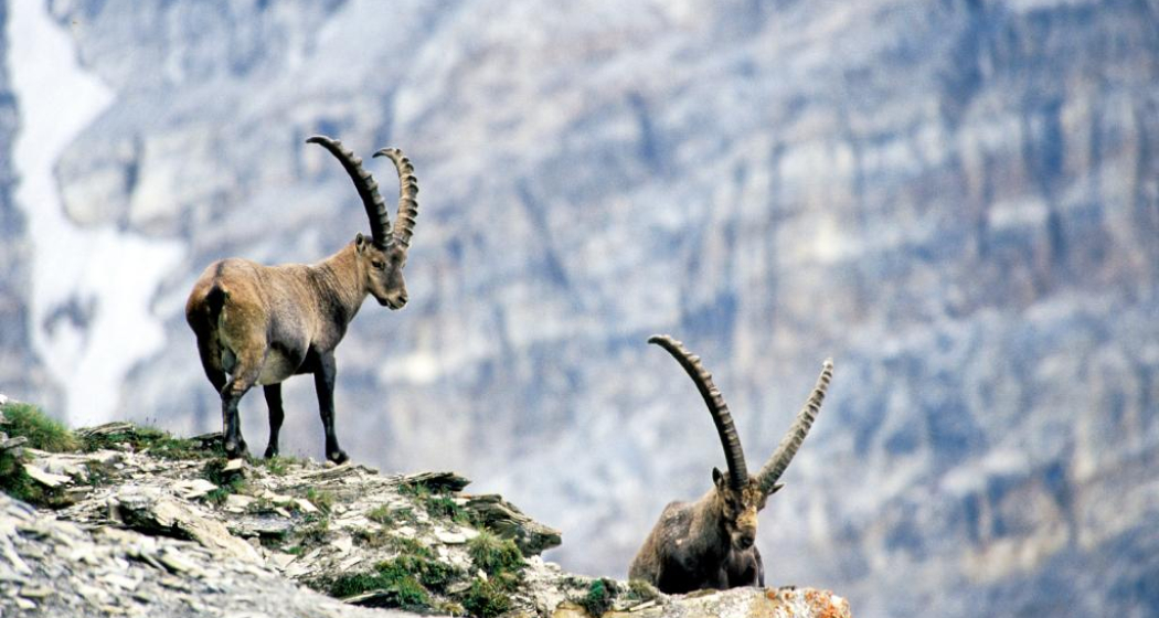
On the first stage, the viaCapricorn leads from Wergenstein to Glaspass through untouched alpine landscape in the middle of the Beverin Nature Park, the territory of the stone ibex colony Safien-Rheinwald with around 350 animals.
Details
Beschreibung
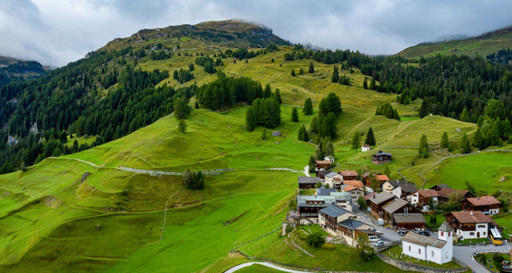
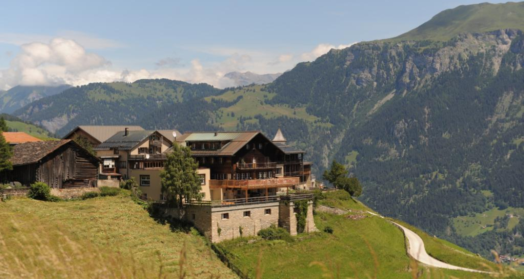
The viaCapricorn starts in Wergenstein at the Center da Capricorns and leads through the Wergenstein pastures to the Maiensäß Dumagns with its typical small wooden huts and the associated larger barns. Further on through the Val da Larisch, the habitat of the black grouse, and over Tguma da Tumpriv to the Carnusapass. With some luck, ibexes can already be spotted here - or chamois, ptarmigans, snow hares…
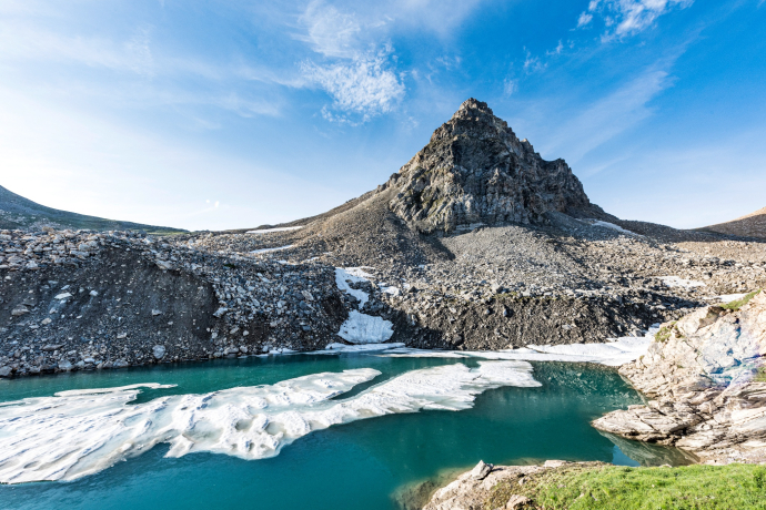
From Carnusapass the hiking trail passes the turquoise-colored Lai la Scotga, inviting you to rest (Romansh for Schotten Lake; Schotte is a cheese by-product, also called whey or sirte).
The descent goes via Tritthütta, Mittler Hütte and Carnusahütte down to Stäg, where the Carnusabach is crossed.
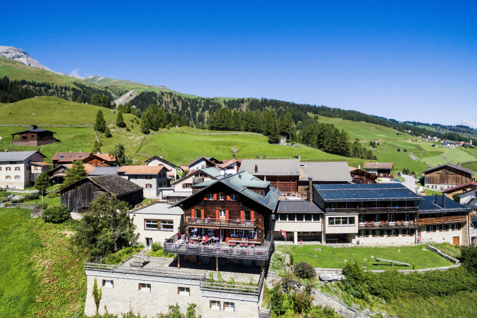
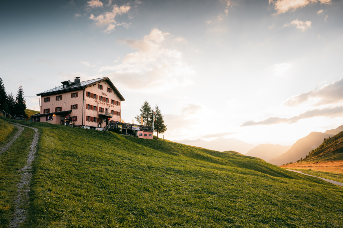
This is followed by an ascent of around 260 meters and the day’s goal, the mountain guesthouse Beverin on Glaspass, is reached.
Tip
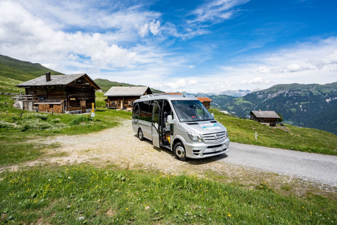
Use the hiking bus and gain some altitude starting from Wergenstein:
Geheimtipp
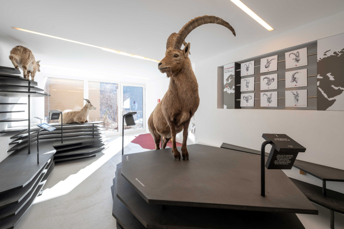
- Visit the Capricorn exhibition in the Center da Capricorns in Wergenstein
Sicherheitshinweis
Please note that viaCapricorn is a mountain hike. Surefootedness is required. This route is not suitable for small children.
Ausrüstung
Sturdy mountain boots with a grippy sole, weatherproof and warm clothing, rain protection, provisions and enough water, sun and head protection, pocket first aid kit, maps, possibly telescopic poles, binoculars or telescope.
Wegbeschreibung
Wergenstein - Dumagns - Val da Larisch - Alp Tumpriv - Tguma da Tampriv - Carnusapass - Lai la Scotga - Schönboda - Tritthütta - Mittler Hütte - Carnusahütte - Glaspass
The hiking trail is continuously signposted with number 693 as a regional route of Wanderland Switzerland and marked white-red-white.
Anfahrt
Öffentliche Verkehrsmittel
Wergenstein and Glaspass are accessible by PostAuto. Timetable information at sbb.ch.
Verantwortlich für diesen Inhalt Viamala Tourism.

Diese Webseite nutzt Technologie und Inhalte der Outdooractive Plattform.
