
ViaSuworow: Stage 10
9 Bilder anzeigen
Details
Beschreibung
Chased by the French, Suvorov’s troops moved southwards to Elm in snowfall. The easy hike follows the Linth to Schwanden and then partly above, partly along the Sernf via Engi and Matt back to Elm.
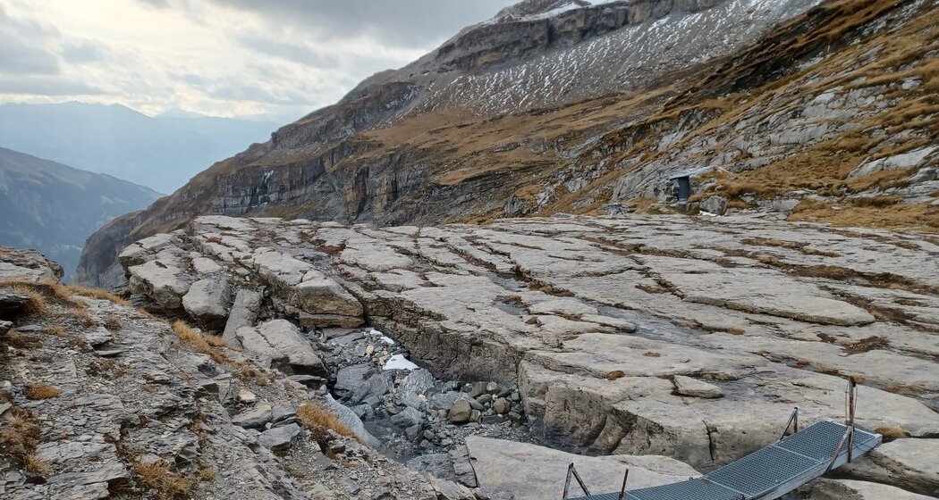
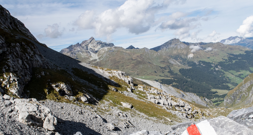
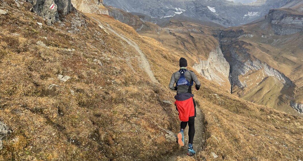
On this long alpine route, you cross the historically significant Panixer Pass between the cantons of Glarus and Graubünden. The mountain trails have alpine character and are secured in exposed areas. You move through a mostly barren mountain landscape, surrounded by large peaks and intact alpine flora and fauna.
Geheimtipp
If the project at the Panixer Pass continues in 2025, the basecamp at the pass summit offers a special accommodation option. Please inform yourself early.
Sicherheitshinweis
In uncertain weather conditions, the route should not be started. Weather changes are common in the mountains. If a rain front or similar appears during the hike, you should turn back in time.
In the higher sections of this route there can still be occasional, even large snowfields until summer. From July to September the best conditions generally prevail.
Ausrüstung
Good hiking boots with a good tread, weather-appropriate clothing (rain jacket), possibly change of clothes, first aid kit, drink, provisions, possibly hiking poles.
Wegbeschreibung
Elm-Wichlen-Hàxenseeli-Panixerpass-Plaun da Cavals-Alp Ranasca-Pigniu
Anfahrt
Öffentliche Verkehrsmittel
Arrival
By train to Schwanden and by bus to Elm, village
Departure
From Pigniu, village by postal bus to Ilanz (only a few connections per day)
Anreise Information
This route can only be done by public transport
Parken
This route can only be done by public transport


Verantwortlich für diesen Inhalt SwitzerlandMobility.