Walensee Riviera Weesen - Quinten
Open
Mittel
10.2 km
3:30 h
454 Hm
452 Hm


11 Bilder anzeigen

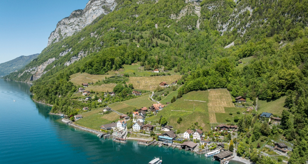
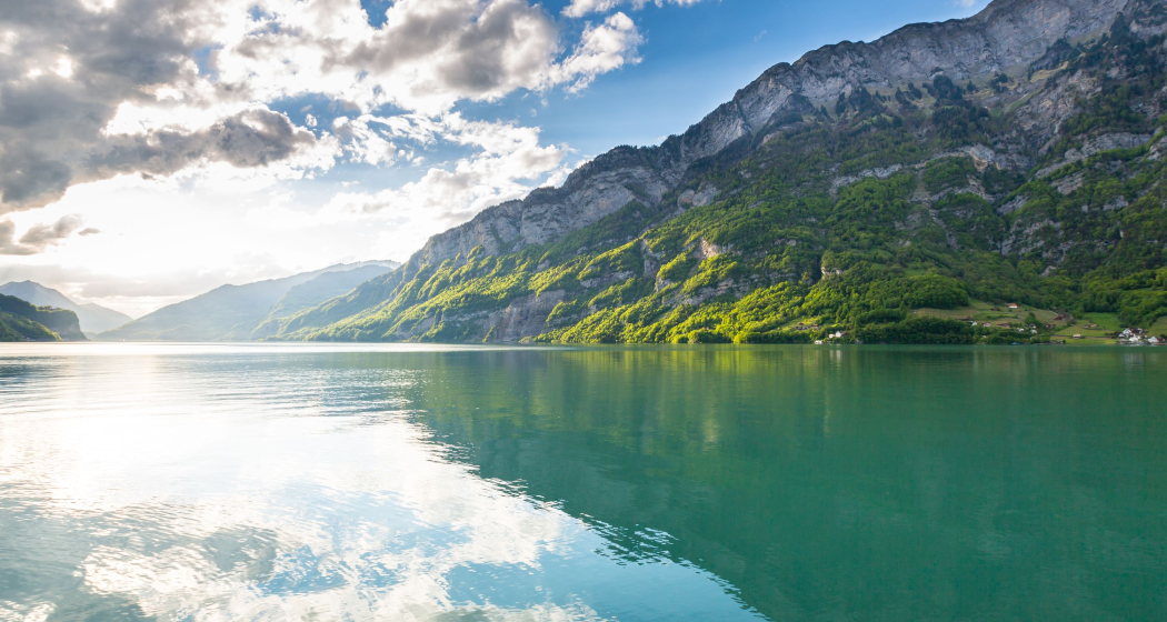
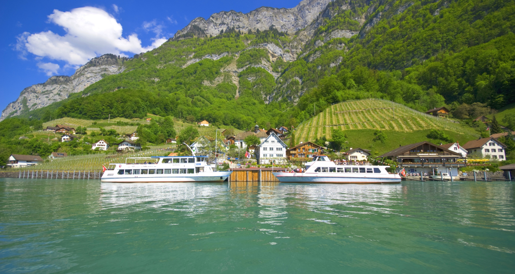
Due to the mild climate, it is also called the "Walensee Riviera." This is especially noticeable and visible in Quinten, where kiwis and figs grow.
Beste Jahreszeit
Jan
Feb
Mär
Apr
Mai
Jun
Jul
Aug
Sep
Okt
Nov
Dez
Start
Weesen, bus stop "See"
Ziel
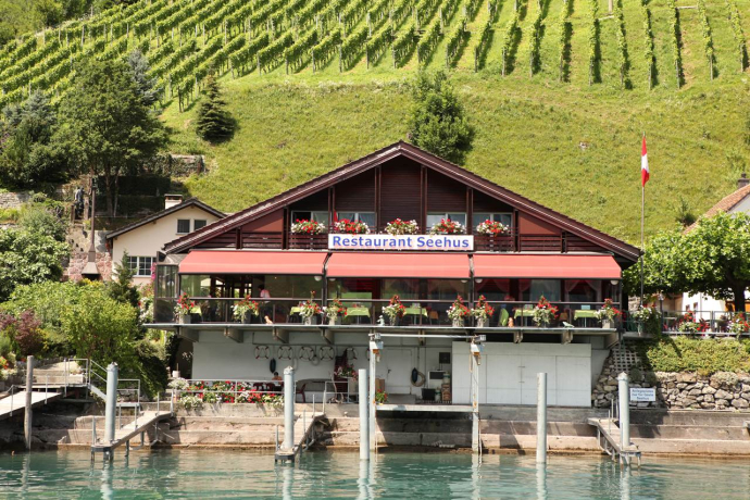
Quinten, boat landing stage
Koordinaten
47.135126, 9.098307
Details
Beschreibung
Starting at the "Weesen, See" post bus stop, where there are many public parking spaces, the hike follows the main road to the hamlet Fli. From there, a small road—partly carved into the rock, just above the water level or through tunnels—leads towards Betlis. At the former Roman watchtower Strahlegg, you can enjoy a magnificent panoramic view. After the Seerenbach waterfalls, there is an ascent of about 200 meters into the Seerenwald forest. The first part can be covered on a very beautiful and wide path. Then the somewhat steeper and rockier path, secured with holding ropes, leads downhill to the hamlet Quinten, one of the few remaining car-free places in Switzerland. The mild climate allows figs, lemons, kiwi, and an excellent wine to mature. Return to Weesen or other stations on the Walensee by boat.
Geheimtipp
Visit the "Geschenklädeli" in Quinten, right next to the church. There you can get local specialties.
Sicherheitshinweis
The path partly leads over slippery terrain with bare limestone rock.
Ausrüstung
Good hiking shoes are absolutely necessary.
Wegbeschreibung
Weesen - Fli - Betlis - Quinten
Anfahrt
Öffentliche Verkehrsmittel
Take the train to Ziegelbrücke, then the bus to the "Weesen, See" stop.
Anreise Information
Take the Weesen motorway exit, then continue on the main road to the harbor.
Parken
Public parking is available at the harbor in Weesen (paid).
Verantwortlich für diesen Inhalt Heidiland Tourism Ltd..

Diese Webseite nutzt Technologie und Inhalte der Outdooractive Plattform.
