Walenstadt-Raischibe-Mols
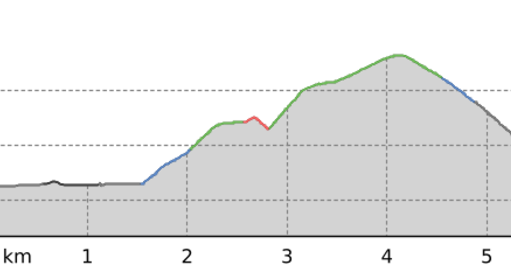
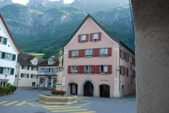
The hike starts at Walenstadt train station. Continue through the underpass heading south.
Details
Beschreibung
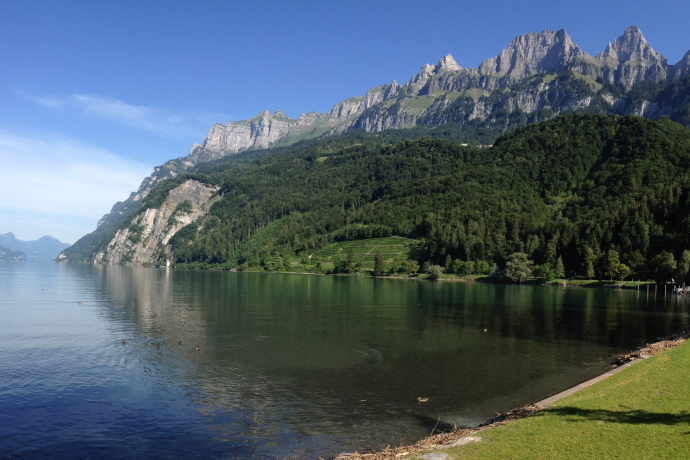
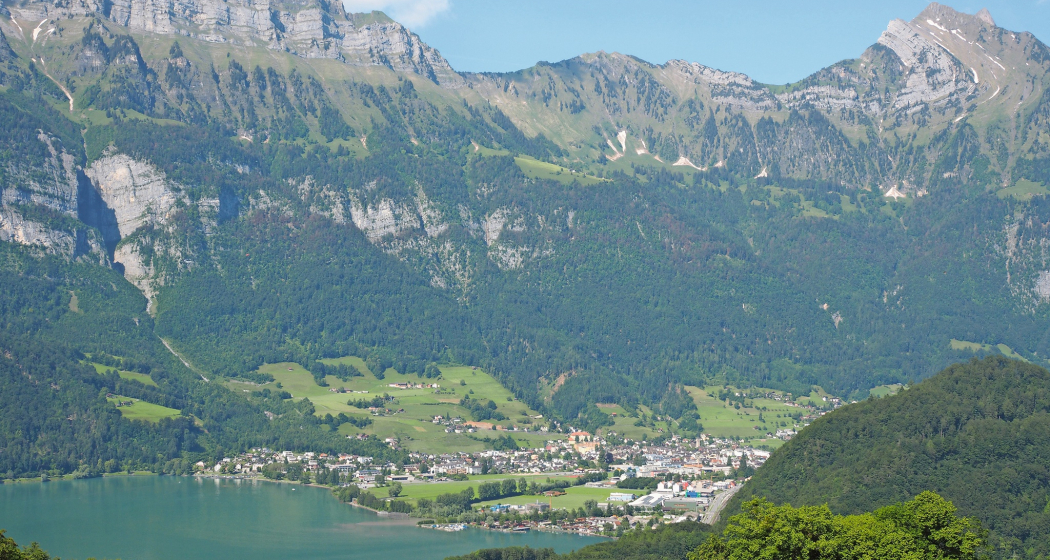
Past the Raischibli hill, the path goes through the forest with beautiful views of Walenstadt and Lake Walen. After the turnoff toward Mols, the path steadily descends to Mols and the shores of Lake Walen.
Geheimtipp
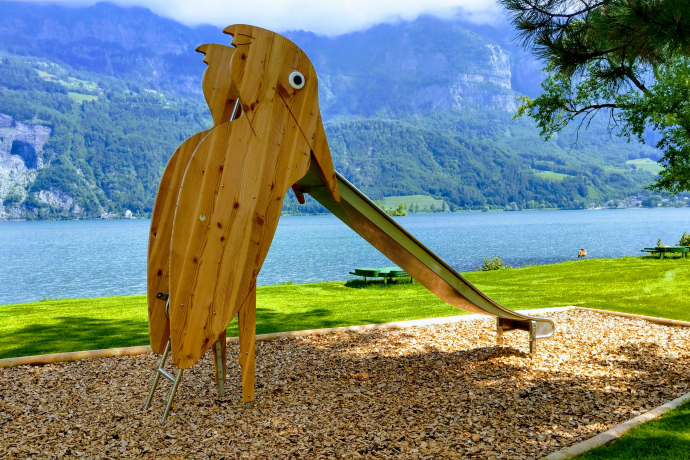
The nicely designed Mols bathing beach with playground and bistro invites you to relax.
Ausrüstung
Normal leisure equipment, sturdy footwear.
Wegbeschreibung
Walenstadt train station - underpass heading south - Raischibli - Mols
Anfahrt
Öffentliche Verkehrsmittel
By train or bus to Walenstadt
Anreise Information
From the south, take the Flums motorway exit; from the north, the Walenstadt motorway exit, then follow the main road to Walenstadt train station.
Parken
Public parking available at the train station, in the town center, or at the harbor (paid).
Verantwortlich für diesen Inhalt Heidiland Tourism Ltd..

Diese Webseite nutzt Technologie und Inhalte der Outdooractive Plattform.


