
Winter hiking trail Schuderser Maiensäss
3 Bilder anzeigen
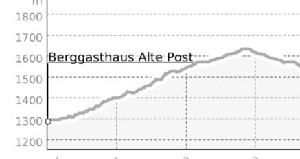
A gently ascending little road leads from Schuders to the Maiensäss. If you take it easy, it only takes one and a half hours and is rewarded with a fantastic panoramic view.
Details
Beschreibung
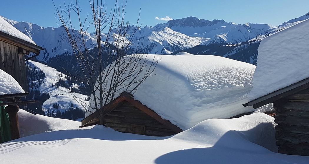
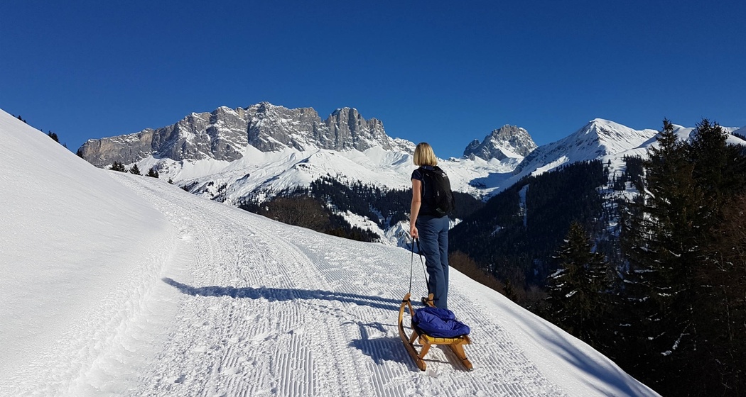
The old Walser settlement Schuders can be reached from Schiers via the world-famous Saginatobel Bridge. From there, a gently ascending little road leads to the Maiensäss. If you take it easy, it only takes one and a half hours and is rewarded with a fantastic panoramic view: from the Rätikon over the Rhine Valley to the highest Graubünden peaks. You do feel some sympathy when the fog spreads like a duvet over the Central Plateau and at the same time you can relax in the sun on the Maiensäss. Those who love it sporty take the sledge for the return journey. The road is lovingly prepared by locals with a small slope vehicle. Also suitable for families with children.
Geheimtipp
The road to Schuders is cleared daily in case of snowfall and is easily passable with a 4x4. Even more relaxed is to reach Schuders by PostBus.
Sledges can be rented at the mountain inn or brought along.
Ausrüstung
Normal winter hiking equipment; depending on conditions, poles may be recommended.
Wegbeschreibung
The starting point is the mountain inn Post (parking lot) in Schuders, 1272 m a.s.l.. On the alpine road to the end of the village and from there follow the prepared path. Past scattered barns and after a few curves, you reach the Maiensäss at 1650 m a.s.l..
Anfahrt
Öffentliche Verkehrsmittel
By the Rhaetian Railway RhB to Schiers (timetable field 910), then by PostBus to Schuders (timetable field 90.213).
Anreise Information
Parken

Verantwortlich für diesen Inhalt Prättigau Marketing.

Diese Webseite nutzt Technologie und Inhalte der Outdooractive Plattform.