
Zipfa Splügen
3 Bilder anzeigen
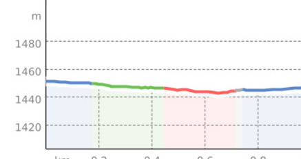
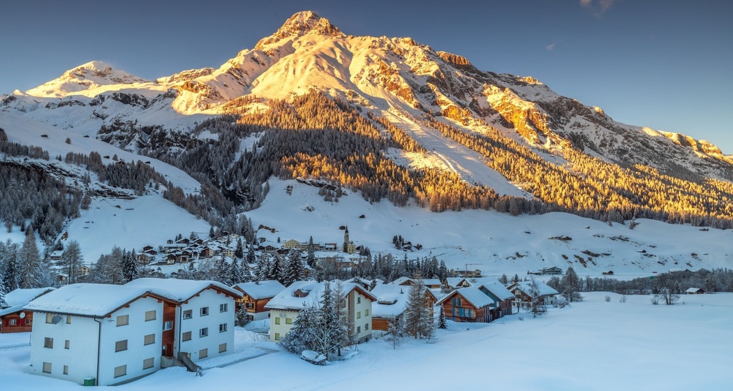
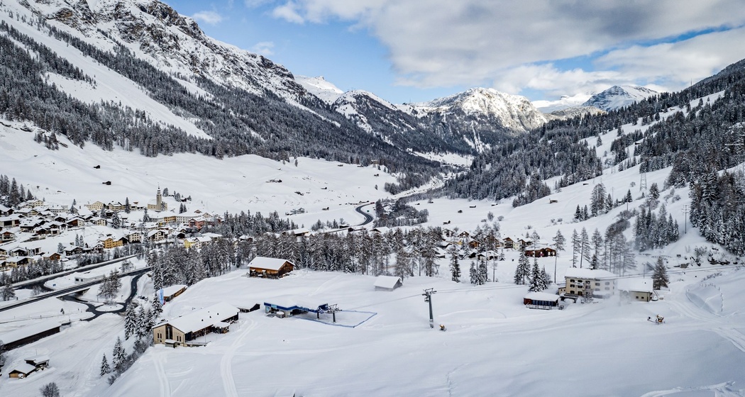
Enjoy a sunny, 20-minute circular route along the picturesque Hinterrhein from Splügen to Zipfa and back.
Details
Beschreibung
Discover the picturesque winter hiking trail east of Splügen, which runs leisurely along the sparkling Hinterrhein. On the approximately 20-minute loop, visitors can enjoy the scenic landscape and experience breathtaking views of the surrounding mountains and forests. Ideal for a relaxed walk in the winter nature.
Geheimtipp
The loop can be walked in both directions. A detour into the historic village center of Splügen is worthwhile. Various dining options are available.
Wegbeschreibung
Splügen - Zipfa - Splügen
The loop can be walked in both directions.
Anfahrt
Öffentliche Verkehrsmittel
Splügen is accessible by PostAuto. From both stops, the winter hiking trail is reachable on foot within 10 minutes. For more information and timetable inquiries, please refer to the SBB online timetable.
Anreise Information
From the north: via A13 motorway to Chur, Thusis, continuing to Splügen. From the south via A13 motorway to Bellinzona, San Bernardino, and continuing to Splügen. Take exit 28-Splügen on the A13. Plan your journey with the Google route planner.
Parken
Paid parking spaces below the valley station of the Splügen-Tambo cable cars and along the Splügenpass road. Free parking in Splügen village near the PostAuto stop.


Verantwortlich für diesen Inhalt Viamala Tourism.

Diese Webseite nutzt Technologie und Inhalte der Outdooractive Plattform.