
Cassons - Segnesböden - Segnes
4 Bilder anzeigen
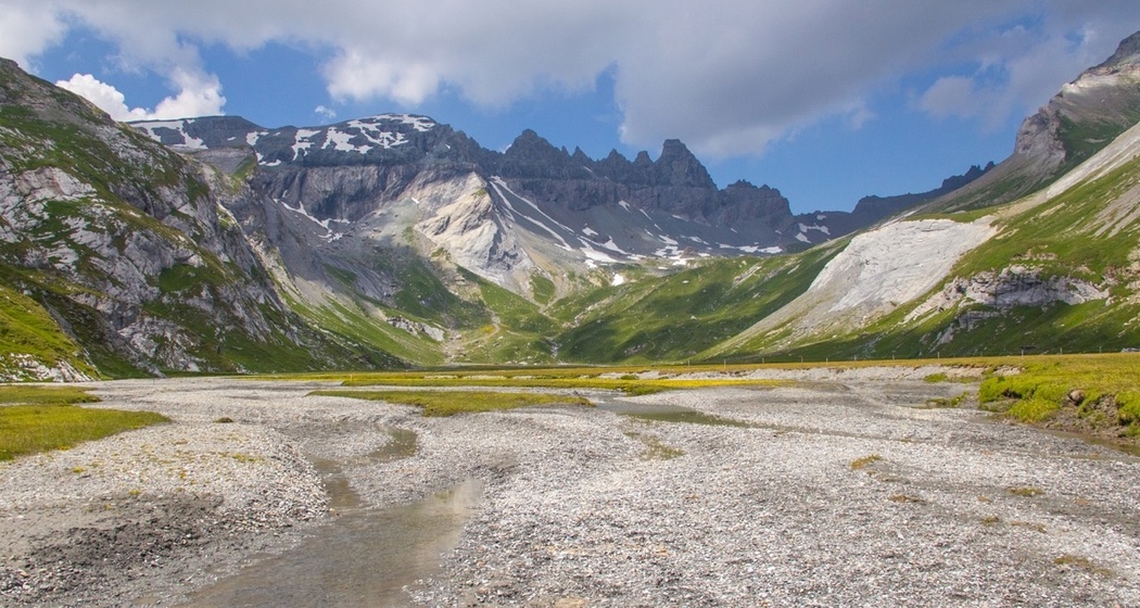
Impressive high-altitude hike along the two Segnesböden. The natural experience in the UNESCO World Natural Heritage Tektonikarena Sardona.
Details
Beschreibung
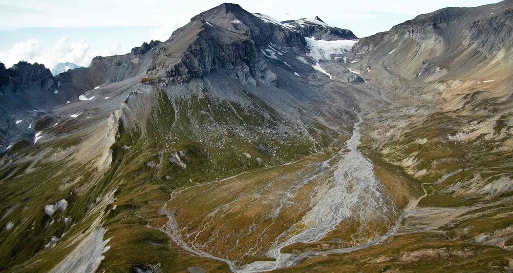
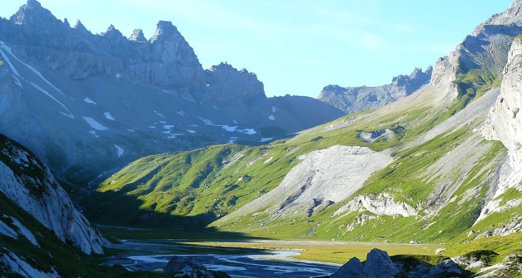
On the other side of the plain, the route continues at more or less the same altitude to the southern foot of the mighty Atlas Mountains. It is worth pausing briefly here at the fork in the path. The view of the Tschingelhörner peaks and the famous Martinsloch is phenomenal here. Continue on to the river outlet of the upper Segnesboden. The upper Segnesboden spreads out below you on the left and the lower Segnesboden on the right. The lower Segnesboden is a unique protected moorland of national importance.
Finally, you descend to Segnes. The tour ends at the Segnes hut, where you can enjoy a well-deserved snack on the sunny terrace and rest. From Segnes, you can take the mountain railway to Flims to save your energy.
Geheimtipp
Try the home made sweets at the Segnes hut.
Sicherheitshinweis
Ausrüstung
Sturdy footwear, trekking backpack with sun and rain protection and provisions, drink, possibly hiking poles.
Wegbeschreibung
Anfahrt
Öffentliche Verkehrsmittel
From Chur station with PostBus 81 to Flims until Flims cable cars
Anreise Information
By car on the A13 from Chur, exit Flims
Parken
Stenna parking garage at the Flims cable cars


Verantwortlich für diesen Inhalt Flims Laax Falera Management AG.

Diese Webseite nutzt Technologie und Inhalte der Outdooractive Plattform.