
Crown hike: Vals (Zerfreila) - Läntahütte (stage 6)
Details
Beschreibung
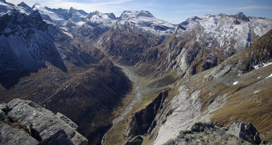
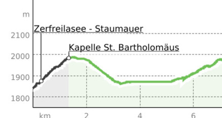
The post bus takes you to the starting point at the Zervreila reservoir. Along the lake and later along the Valser Rhine, the easy hike leads leisurely and without notable ascent past the Lampertschalp into the high valley of Länta, where you are very close to the glaciers and snow peaks of the Rheinwaldhorn group.
Läntahütte "The Charming"
Located at 2090 meters altitude at the foot of the Rheinwaldhorn in the heart of the Adula Alps, the Länta is both a professionally managed mountain hut and a charming base camp for discovery tours at the top of the Valsertal in Graubünden. Founded over 100 years ago by enthusiastic mountaineers and climbers, the spirit of adventure has been preserved to this day. Nestled in a rugged landscape of stone, water, and ice, the Läntahütte SAC offers an authentic stay in the high mountains despite all modernizations. With good food, unpretentious hospitality, and a sense for romantic moments. The hut accommodates 33 people and is continuously open and staffed from mid-June to mid-October and from early March to early May.
See also
Surselva Tourism
7130 Ilanz
Tel.: 0041 81 920 11 05
Email: ilanz@surselva.info
Internet: www.surselva.info
Geheimtipp
The fjord-like Zervreila lake with the eponymous "Grisons Matterhorn" above the southern shore, the high valley Länta with the Lampertschalp, the wild foaming Valser Rhine, and the glacier tongue at the valley end (Länta glacier trail).
Variants
- The route can already be done on foot from Vals. From Vals Valé, follow the signposted hiking trail high above the Valser Rhine to Zerfreila and continue via the above-described route to the Läntahütte. 17.5 km, 1100 m ascent, approx. 5.5 hours hiking time.
- Those who want to shorten the route can change from the post bus terminal in Zerfreila to the hiking bus and travel to the Canalbrücke. Note: only available in the main summer season. See timetable. 7.5 km, 270 m ascent, approx. 2 hours hiking time.
Sicherheitshinweis
Note: Snowfields are possible on high-altitude sections even into the summer months.
The route should not be undertaken in uncertain weather conditions. Weather changes in the mountains are frequent. If a rain front or similar develops during the hike, you should turn back in time.
Ausrüstung
Wegbeschreibung
Anfahrt
Öffentliche Verkehrsmittel
From Ilanz by post bus via the village of Vals and further to Vals, Zerfreila.
There is the option to take the hiking bus to the Canalbrücke.
Anreise Information
From Ilanz via Vals and possibly further to the Zerfreila chapel.
Parken
-Vals village center
-Zerfreila
-Zerfreila chapel


Verantwortlich für diesen Inhalt Surselva Tourism.

Diese Webseite nutzt Technologie und Inhalte der Outdooractive Plattform.