
Güner Lückli - lonely mountain pass
6 Bilder anzeigen
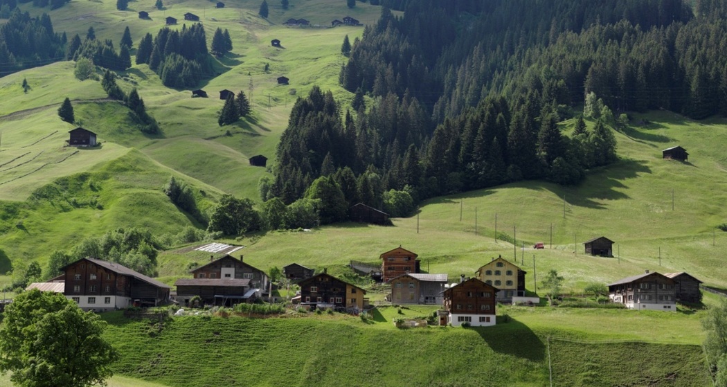
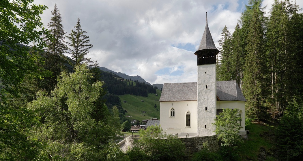
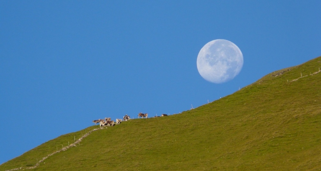
The Güner Lückli connects the Romansh Val Lumnezia with the German-speaking Safien valley and promises plenty of peace and pristine nature.
Details
Beschreibung
The Güner Lückli was once a transit route from Vorderrhein to Chiavenna. In the Middle Ages, the path was even passable with carts. Today, the marked hiking trail only partly follows the old route.
Geheimtipp
- View
- Zalöner Hut
- Spensa in Safien Platz
Sicherheitshinweis
The route should not be started in uncertain weather conditions. Weather changes in the mountains are common. If a rain front or similar approaches during the hike, you should turn back in time.
Observe the instructions regarding pastures with livestock guarding dogs: https://www.protectiondestroupeaux.ch/faq-was-tun/um-zu-wissen-wo-sich-hsh-aufhalten/
Ausrüstung
Good hiking shoes with a good profile, weather-appropriate clothing (rain jacket), possibly change of clothes, first aid kit, drink, food, possibly hiking poles.
Wegbeschreibung
Duvin - Val da Plattas - Alp Gretg - Güner Lückli - Zalöner Hut - Inder Zalön - Safien Platz
Anfahrt
Öffentliche Verkehrsmittel
Please note the reservation requirement for the bus to Duvin at least 1 hour before departure. See also: www.postauto.ch/90.432


Verantwortlich für diesen Inhalt Surselva Tourism.

Diese Webseite nutzt Technologie und Inhalte der Outdooractive Plattform.