Hike to dragon's hole
Schwer
9.4 km
4:45 h
1477 Hm
1477 Hm
5 Bilder anzeigen
A journey to the past.
Beste Jahreszeit
Jan
Feb
Mär
Apr
Mai
Jun
Jul
Aug
Sep
Okt
Nov
Dez
Start
Vättis
Ziel
Vättis
Koordinaten
46.909315, 9.440289
Details
Beschreibung
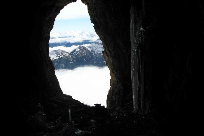
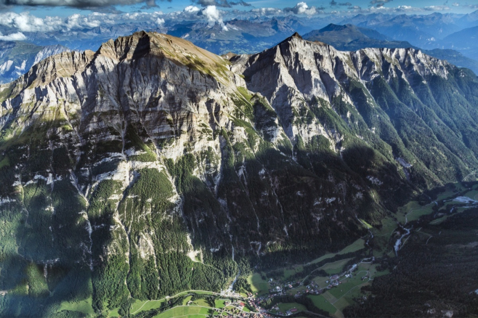
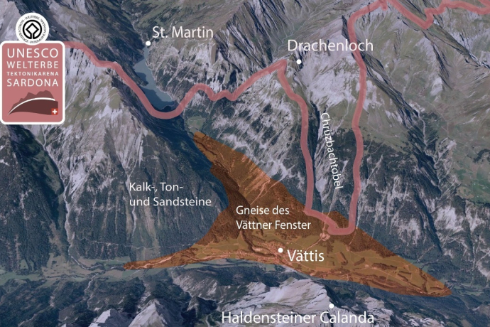
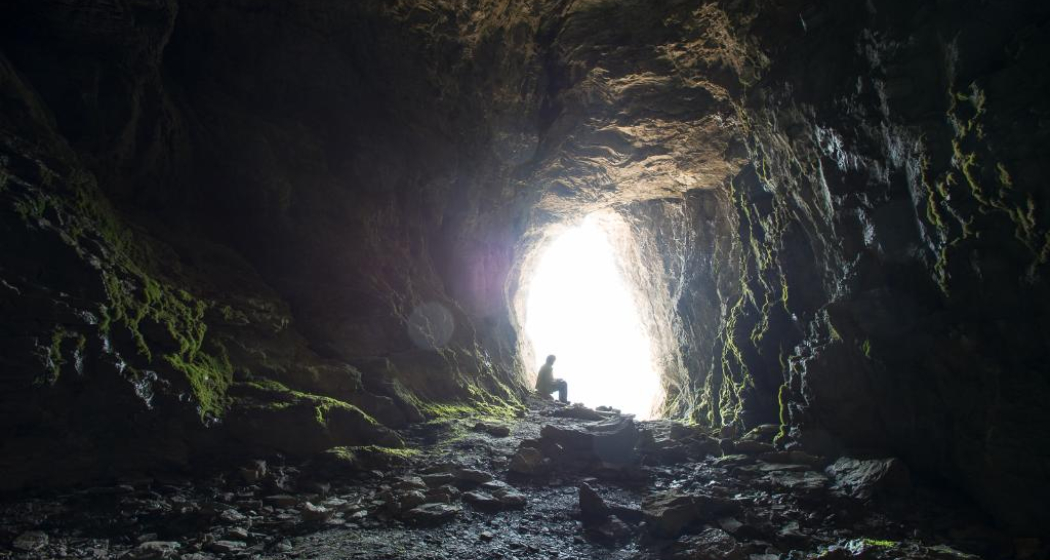
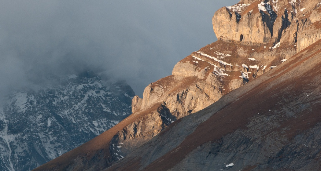
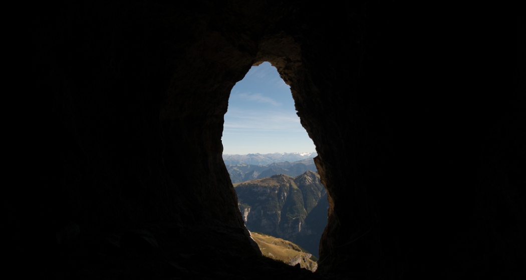
The highest prehistoric site in Europe, the Drachenloch, is the destination of this challenging hike. The ascent is along a very steep mountain trail that leads the hiker through beech and fir forests to the Schafalp Gelbberg. From the hut, the Drachenloch is visible in the summit wall of the Drachenberg. On a grassy slope and a narrow band that requires some concentration, the historically significant cave is reached. The view of the Rätikon group and up to Piz Buin is overwhelming and unique.
Sicherheitshinweis
Depending on the weather, it can be very slippery in some places.
Ausrüstung
Good hiking equipment, very sturdy mountain boots.
Wegbeschreibung
Vättis - Patina - Gelbberg - Drachenloch - Vättis
Anfahrt
Öffentliche Verkehrsmittel
By train to Bad Ragaz and then by post bus to Vättis.
Anreise Information
Take the Bad Ragaz highway exit. Take the mountain road in the direction of Pfäfers/Valens as far as Vättis.
Verantwortlich für diesen Inhalt Heidiland Tourism Ltd..

Diese Webseite nutzt Technologie und Inhalte der Outdooractive Plattform.
