MTB Tour to Lampertschalp
Mittel
29 km
5:25 h
1220 Hm
1220 Hm


4 Bilder anzeigen

A panoramic mountain bike tour.
Beste Jahreszeit
Jan
Feb
Mär
Apr
Mai
Jun
Jul
Aug
Sep
Okt
Nov
Dez
Start
Visit Vals
Ziel
Visit Vals
Koordinaten
46.608686, 9.173144
Details
Beschreibung
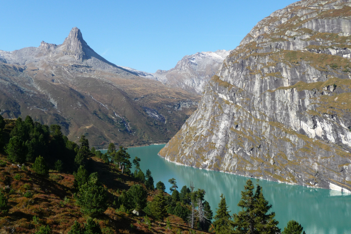
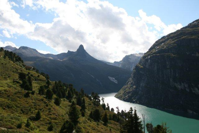
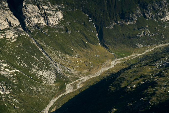
Viewsome and varied tour along the Zerfreilasee lake to Lampertschalp. Impressive views of the high alpine Länta Valley and the striking Zerfreilahorn.
Geheimtipp
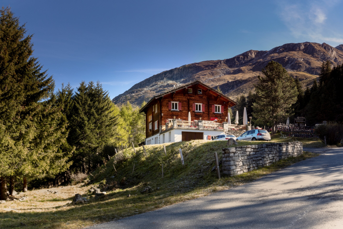
Huckleberry pie at the Zervreila restaurant.
Sicherheitshinweis
You share this path with hikers. Please be considerate.
Ausrüstung
Solid, mountain-ready bike gear
Wegbeschreibung
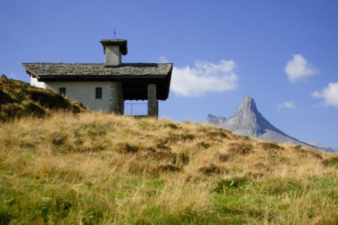
From Visit Vals, follow the road through the village to the Zerfreila turn-off, through the Rotabärg gorge to the tunnel. Continue through the old tunnel (to the right of the road tunnel) to Zerfreila. After the dam wall, a steep climb to Zerfreilachappeli. On a gently descending natural road, the journey continues over the Canal bridge, to Ochsenstafel to Lampertschalp. Alpine restaurant / refreshment stop there. The high alpine mountain world of the Läntal valley is also impressive on the return journey along the same route, this time with the view out of the valley. Stop for refreshments at the Zervreila restaurant. From there the rapid descent to Vals begins.
Anfahrt
Öffentliche Verkehrsmittel
By post bus to Vals. Stop at the Sportbahnen Vals car park.
Anreise Information
Chur - Ilanz -Vals
Parken
Car park Sportbahnen Vals
Verantwortlich für diesen Inhalt Visit Vals AG.

Diese Webseite nutzt Technologie und Inhalte der Outdooractive Plattform.

