Naturwaldreservat La Niva Rundtour


14 Bilder anzeigen

Details
Beschreibung
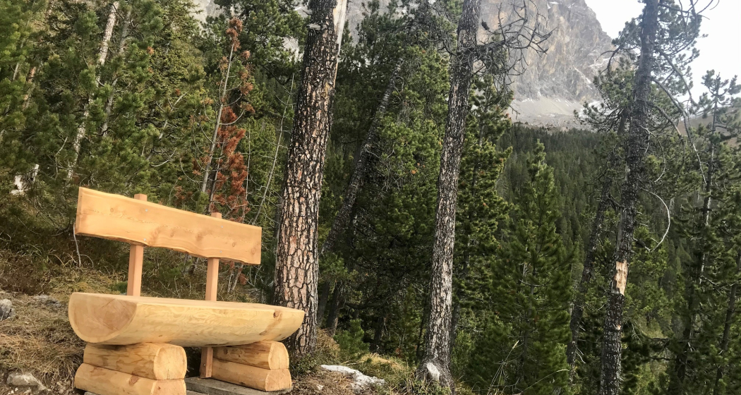
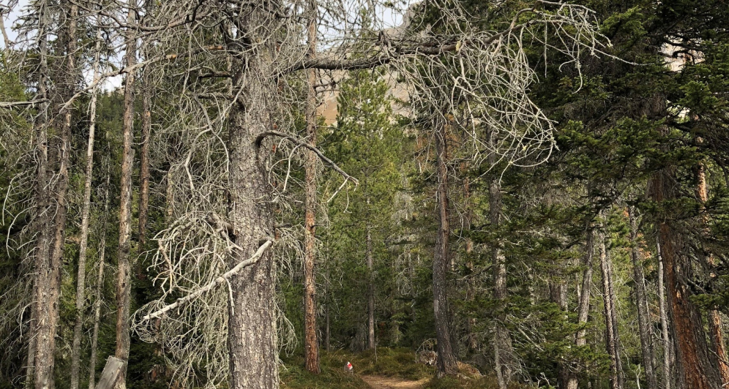
The La Niva natural forest reserve is located above Savognin at the foot of the Piz Mitgel. On the dry, lean subsoil of dolomite rubble, 70 percent mountain pines grow. Spruces make up only 29 percent of the tree population. Due to the harsh environmental conditions, they reach their distribution limit and do not reach the height of 50 meters to which they can grow up at lower altitudes. Where the forest becomes looser and looser towards the top, the black grouse feels at home. On the open spaces above the tree line are the courting grounds, which are used again and again from year to year.
La Niva can be reached from Savognin on foot in about 1.5 hours or once a week on Wednesdays by hiking bus. A visit can also be ideally integrated into a hike on the Motta Palousa, with a view of the Albula Valley and Surses.
Plang la Curvanera can be reached by bike and hiking bus or by car. Further information can be found under the heading "Arrival".
Geheimtipp
Ausrüstung
Wegbeschreibung
Anfahrt
Öffentliche Verkehrsmittel
Plang la Curvanera can be reached on Wednesdays from the end of June to mid-October by bike and hiking bus.
The hiking bus stop is located right next to the ticket office building of the Savognin Bergbahnen.
Anreise Information
From Chur to Tiefencastel and to Savognin. If you use the hiking bus to get to Plang la Curvanera, it is best to park at the parking lot of the Savognin mountain railways.
The hiking bus stop is next to the ticket office building of the Savognin mountain railways or at the Savognin tourist office.
Plang la Curvanera can also be reached by car. A driving/parking permit is required to drive on the alpine road from Savognin - Plang la Curvanera. Only the officially signposted parking spaces may be used.
Parken
Parking in Savognin at the valley station of the Savognin cable cars.
Only the officially signposted parking spaces may be used along the alpine roads. Further information on driving on alpine roads.
Verantwortlich für diesen Inhalt Tourismus Val Surses Savognin Bivio AG.
Dieser Inhalt wurde automatisiert übersetzt.

Diese Webseite nutzt Technologie und Inhalte der Outdooractive Plattform.
