Round tour of Lake Cavloc and Bitabergh
3 Bilder anzeigen
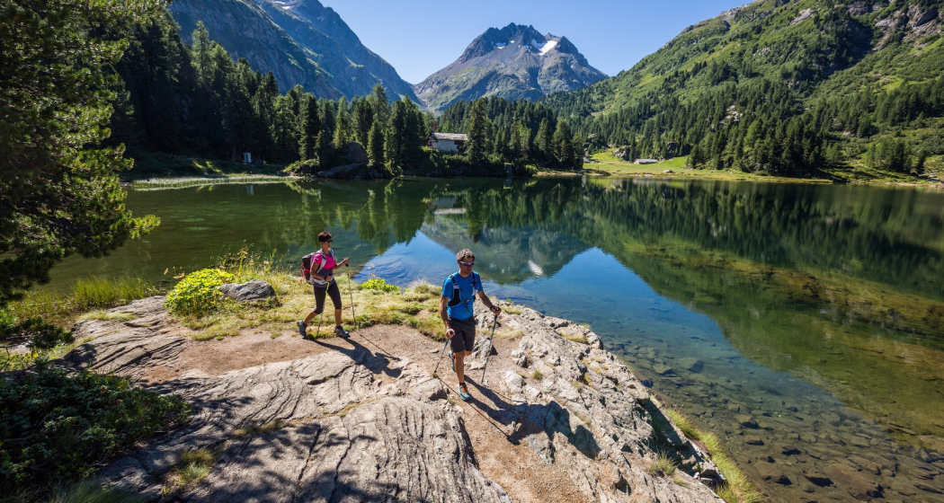
Child-friendly hike from Maloja to two enchanting mountain lakes above the Maloja Pass.
Details
Beschreibung
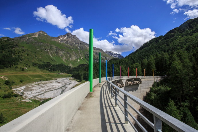
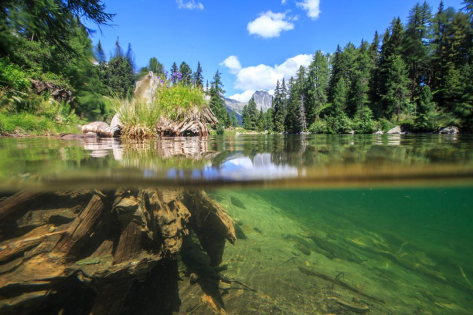
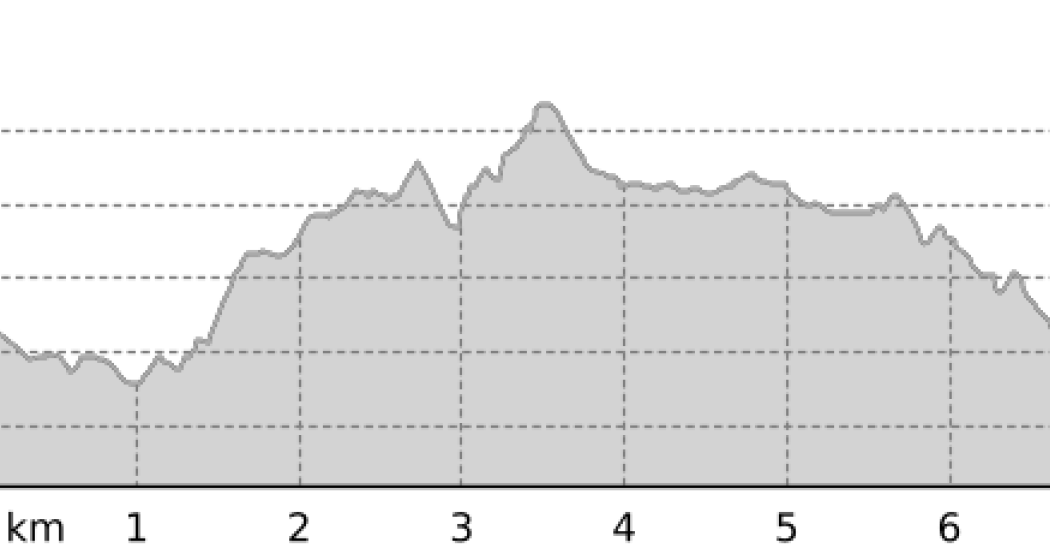
The ascent leads from the Maloja Orden car park over the Orlegna dam. From here you can either take the smuggler's pafd ''Capel'', which is very popular with children, or take the "normal" route through a bright larch forest to Lägh da Bitabergh. After a refreshment in the lake, we follow the signs to Lägh da Cavloc and after some ups and downs we slowly climb the 50 meters in altitude to the highest point of the hike.
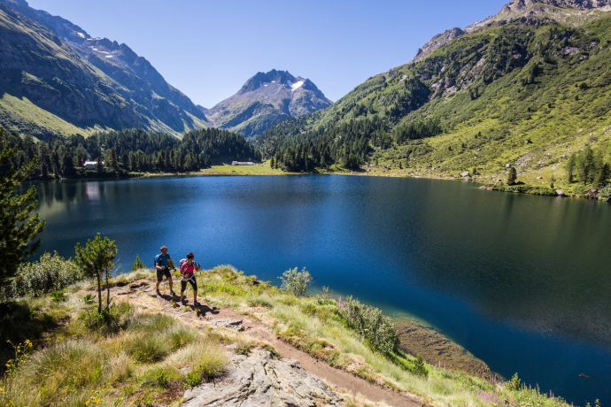
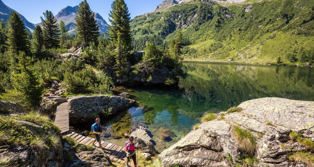
Soon we see the Lägh da Cavloc with the Pizzi dei Rossi in the background. It doesn't matter whether we turn left or right at the fork in the road at the lake - both paths lead around the lake and meet on the opposite side at the small Ristorante Cavloccio. Along the lake there are also some official fire pits with firewood.
On the way back to Maloja we follow the road, past the Salecina Educational Centre, back to Maloja Orden.
Geheimtipp
About 200 m south of the lake is the Alp da Cavloc, a goat alp with direct sales of the typical Bergell Mascarpel and other cheese specialties.
Sicherheitshinweis
Goats and suckler cows graze on the alpine meadows in summer. Please read the signs and follow the recommendations of the alpine farmers!
Here you will find rules of conduct for encounters with suckler cows.
Ausrüstung
Trekking Shoes
Wegbeschreibung
You start from the last hairpin bend of the Maloja Pass and follow the road until you reach a large parking lot. At the corner of the square there is a path that turns right and leads to the dam of the Orlegna reservoir. Walk along the top of the wall and turn right once you reach the opposite side and enter a coniferous forest. In a short time, you will reach a border beyond which the Bitabergh Pond emerges. Go around it to the right and leave the pond behind. Once you reach the nearby junction with signs, continue to the left on a flat path that stays near a slight dip. A short descent then leads to the shores of the enchanting Lake Cavlocc. Between the two options, it is preferable to follow the path that goes around the bank on the right and finally meets a small road at a nice refreshment point. Following the wide road downhill, we return to Maloja.
Anfahrt
Öffentliche Verkehrsmittel
Anreise Information
Parken
Verantwortlich für diesen Inhalt Bregaglia Engadin Turismo.
Dieser Inhalt wurde automatisiert übersetzt.

Diese Webseite nutzt Technologie und Inhalte der Outdooractive Plattform.
