Segnes - Segnesböden - Segnes
Mittel
12.4 km
4:40 h
606 Hm
602 Hm
4 Bilder anzeigen
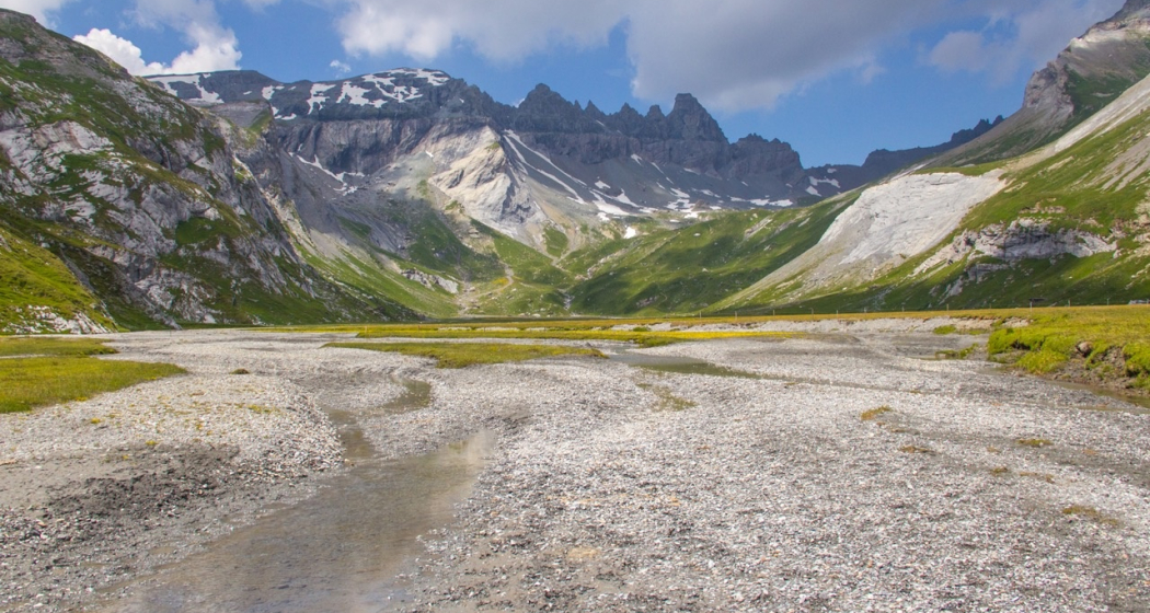
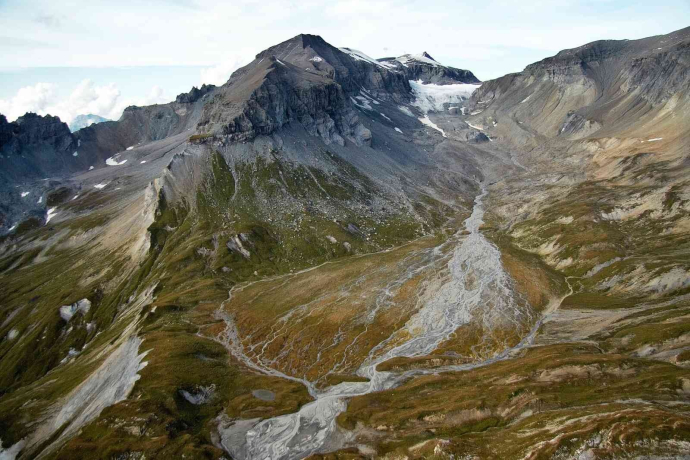
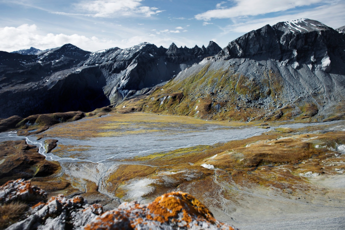
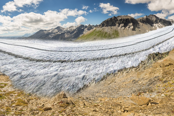
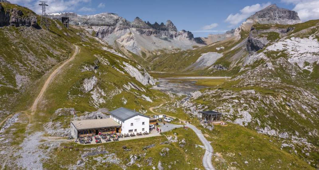
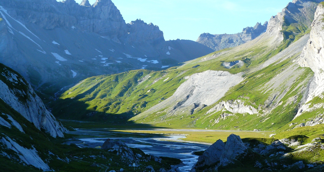
Impressive high-altitude hike along the two Segnesböden. The nature experience in the UNESCO World Heritage Site Tectonic Arena Sardona.
Beste Jahreszeit
Jan
Feb
Mär
Apr
Mai
Jun
Jul
Aug
Sep
Okt
Nov
Dez
Start
Segnes station
Ziel
Segnes station
Koordinaten
46.867675, 9.240115
Details
Beschreibung
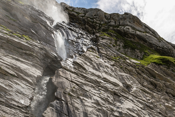
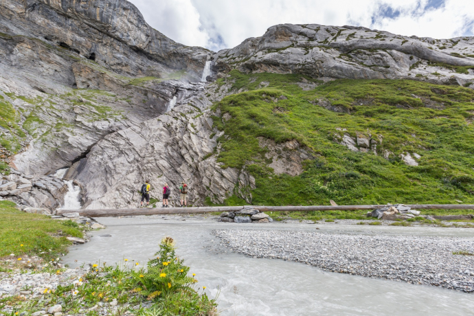
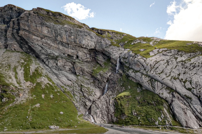
The FlemXpress takes you to the starting point at Segnes station. From there, you walk along the hiking route 764 Trutg dil Flem in the opposite direction, past the waterfall and half-circumnavigate the lower Segnesboden before heading uphill towards the Segnespass. From there you have a clear view of the Tschingelhörner and a perfect view of the famous Martinsloch on the way to the upper Segnesboden. Once you have rounded the expansive and surprisingly flat upper Segnesboden, the trail slowly descends again, past the climbing garden towards the Segneshütte. The sun terrace invites you to enjoy a refreshment. The FlemXpress gondola takes you comfortably down to the valley.
Geheimtipp
Have a look around the visitors pavillon next to the Segneshütte and learn about the development of the Alps.
Ausrüstung
solid shoes or hiking boots, backpack with rain coat, sunscreen, snacks and drink, maybe hiking poles
Wegbeschreibung
Valley station Flims - Segens station - lower Segensboden - upper Segensboden - Segnes station
Anfahrt
Öffentliche Verkehrsmittel
From Chur train station by post bus No. 81 to Flims,
stop: Flims Bergbahnen
Anreise Information
by car on A13 from Chur, exit Flims
Parken
underground car park STENNA at Flims valley station
Verantwortlich für diesen Inhalt Flims Laax Falera Management Ltd..

Diese Webseite nutzt Technologie und Inhalte der Outdooractive Plattform.

