
Tinizong - Pensa Circular Tour
Mittel
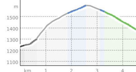
6.7 km
3:30 h
392 Hm
369 Hm
3 Bilder anzeigen
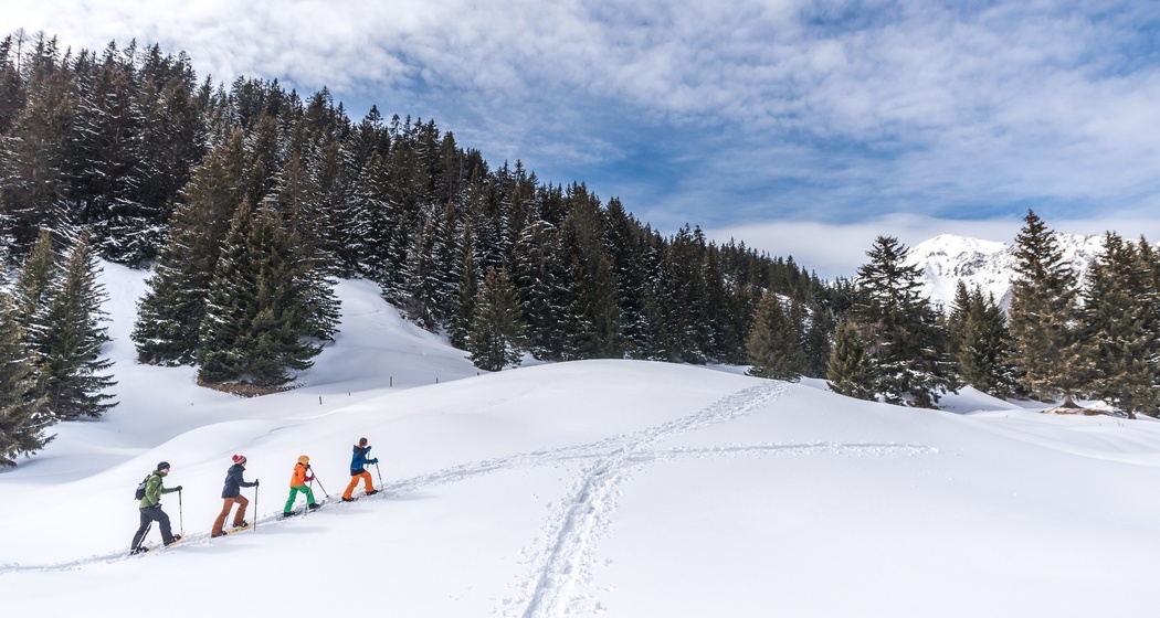
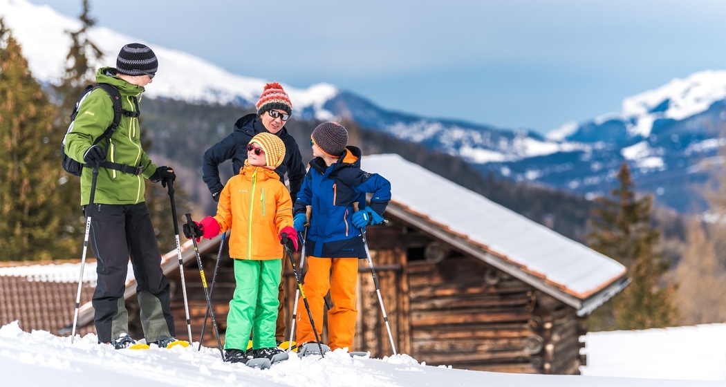
Magnificent snowshoe hike away from the crowds. The beautiful view of Plaz Beischen makes up for the effort of the climb!
Beste Jahreszeit
Jan
Feb
Mär
Apr
Mai
Jun
Jul
Aug
Sep
Okt
Nov
Dez
Start
Tinizong
Ziel
Tinizong
Koordinaten
46.583173, 9.616765
Details
Beschreibung
Sicherheitshinweis
Current avalanche bulletin.
Please observe the rules of conduct regarding wildlife sanctuaries, marked trails, and wolves.
Wegbeschreibung
Tinizong (1232 m) - Proschen Davains - Cruschetta (1564 m) - Plaz Beischen (1534 m) - Vardaval - Tinizong
The tour is signposted!
Anfahrt
Öffentliche Verkehrsmittel
With the Rhaetian Railway from Chur to Tiefencastel. Then by post bus to Tinizong. Or with the PostAuto to Tinizong.


Verantwortlich für diesen Inhalt Tourismus Val Surses Savognin Bivio AG.

Diese Webseite nutzt Technologie und Inhalte der Outdooractive Plattform.