
Tinizong - Pensa Giro ad anello
Mittel
6.7 km
3:30 h
392 Hm
369 Hm
3 Bilder anzeigen
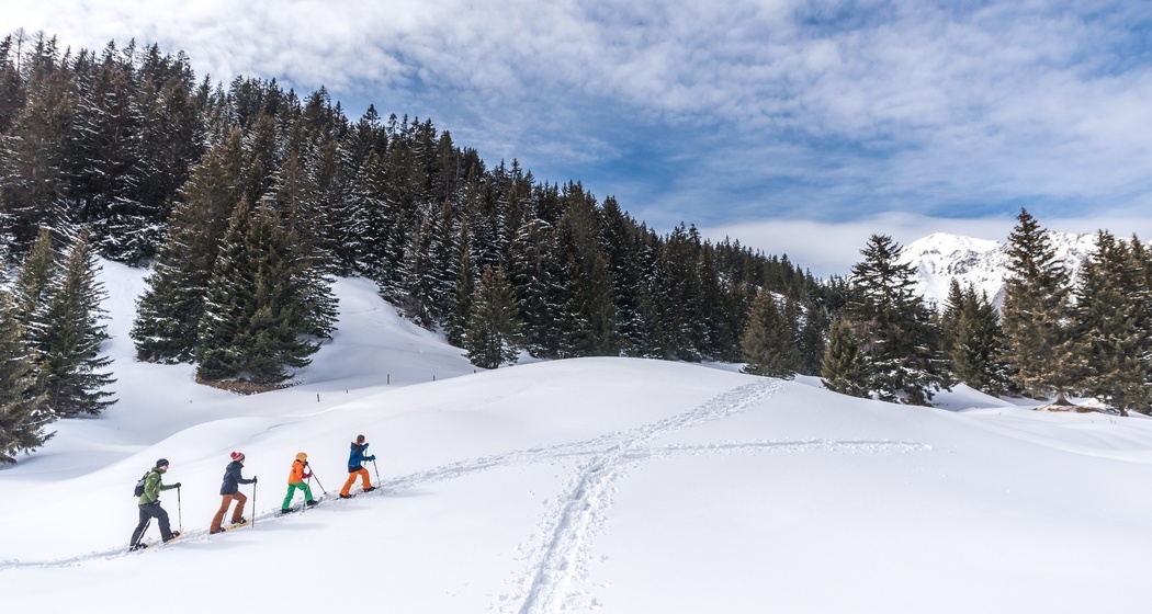
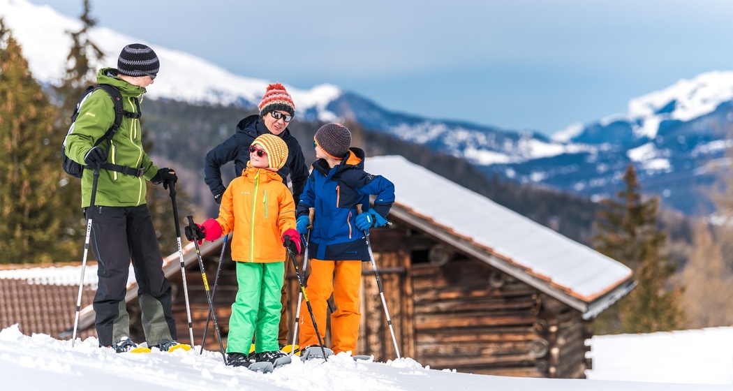
Meravigliosa escursione con racchette da neve lontano dal trambusto. La splendida vista su Plaz Beischen ripaga la fatica della salita!
Beste Jahreszeit
Jan
Feb
Mär
Apr
Mai
Jun
Jul
Aug
Sep
Okt
Nov
Dez
Start
Tinizong
Ziel
Tinizong
Koordinaten
46.583173, 9.616765
Details
Beschreibung
Sicherheitshinweis
Bollettino valanghe aggiornato.
Si prega di osservare le regole di comportamento relative a zone di riposo della fauna selvatica, sentieri segnati e lupo.
Wegbeschreibung
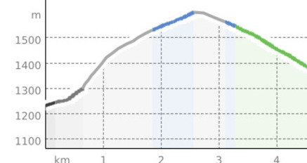
Tinizong (1232 m) - Proschen Davains - Cruschetta (1564 m) - Plaz Beischen (1534 m) - Vardaval - Tinizong
Il percorso è segnalato!
Anfahrt
Öffentliche Verkehrsmittel
Con la Ferrovia Retica da Coira a Tiefencastel. Successivamente con l'autopostale a Tinizong. Oppure con il PostAuto a Tinizong.


Verantwortlich für diesen Inhalt Tourismus Val Surses Savognin Bivio AG.

Diese Webseite nutzt Technologie und Inhalte der Outdooractive Plattform.