
Val Calanca by bicycle
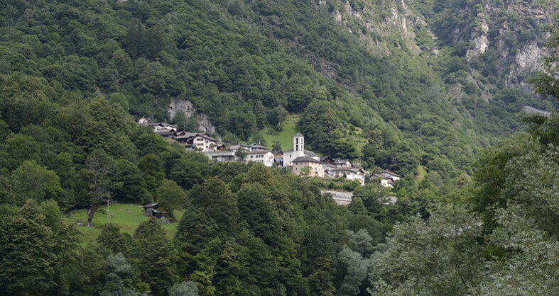
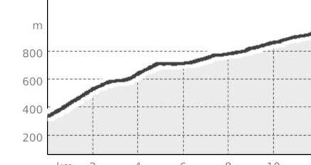
A cycling route that follows the canton road of Val Calanca from Grono to Rossa.
Details
Beschreibung
The route opens the doors of Val Calanca to cyclists, giving them the possibility to tackle other climbs or to stop and fully enjoy the valley. The bicycle allows you to appreciate many more details of the landscape compared to a car trip.
Geheimtipp
After the first climb towards Buseno, it definitely makes sense to stop for a revitalizing break at the Campagnola restaurant or at Germinia in Arvigo.
Sicherheitshinweis
For the tunnel at the entrance of Val Calanca, it is mandatory to have lights on the bicycle.
Wegbeschreibung
Follow the main road.
Anfahrt
Öffentliche Verkehrsmittel
The starting point is located at the Autopostale stop in Grono, Bivio Calanca, accessible from Arbedo-Castione and San Bernardino.
Anreise Information
For those arriving by car: Take exit 38 at Roveredo from the A13 motorway. At the roundabout, continue north until the junction for Calanca.
Parken
Just after the beginning of the Val Calanca road, there are some parking spaces on the right.


Verantwortlich für diesen Inhalt Ente Turistico Regionale del Moesano (ETRM).

Diese Webseite nutzt Technologie und Inhalte der Outdooractive Plattform.