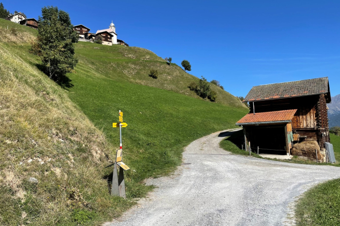
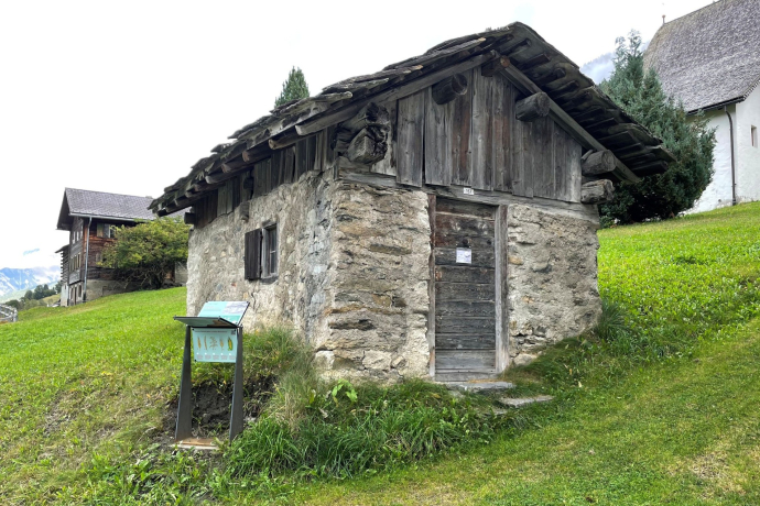
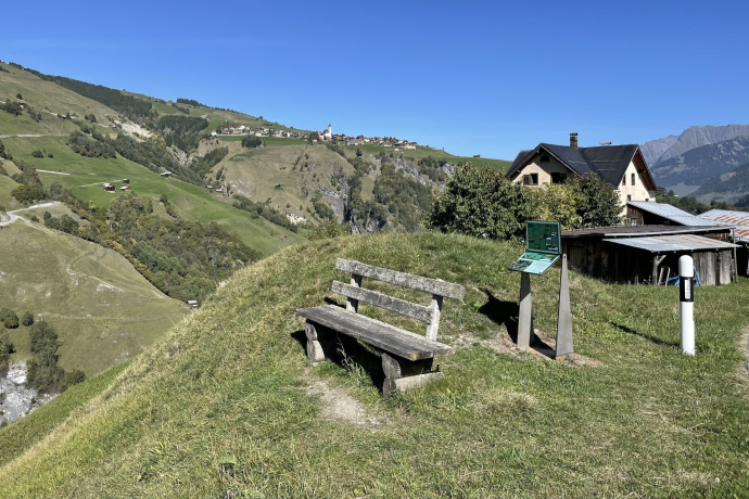
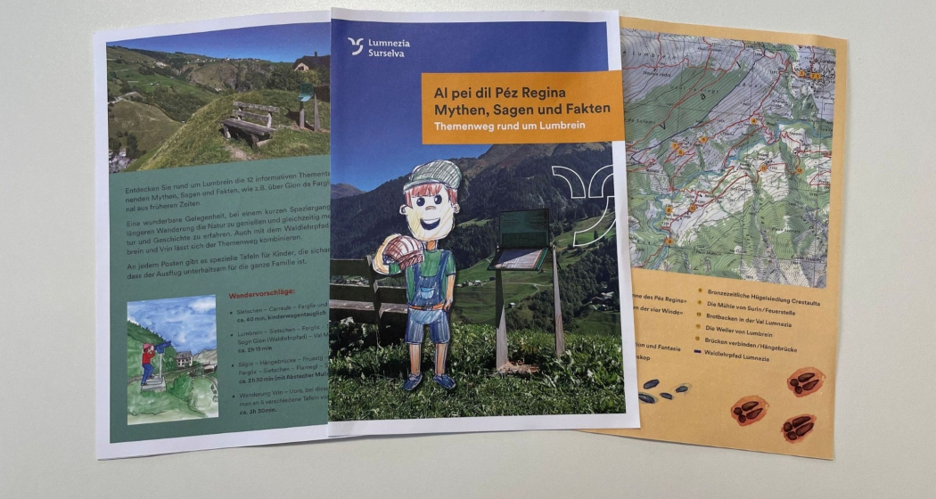
Al pei dil Péz Regina - Mythen, Sagen und Fakten rund um Lumbrein
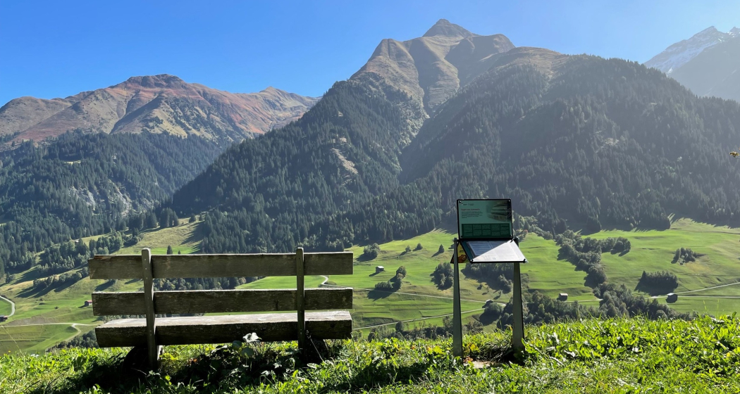
9 Bilder anzeigen
Details
Beschreibung
Get the flyer with quiz at the Vella Tourist Information Office.
Suggestions:
- Sietschen – Carreuls – Farglix and back again, approx. 40 min, suitable for prams
- Lumbrein – Sietschen – Farglix – Sogn Andriu – Sogn Gion (forest nature trail) – Val Mulin – Lumbrein, approx. 2h 15min
- Silgin – suspension bridge – Pruastg – Surin – Scubs – Farglix – Sietschen – Flamegl – Silgin, approx. 2h 30min (with detour Mulin da Surin 45min longer)
- Hike Vrin – Uors, approx. 3h 30min. On the section between Vrin and Silgin there are 5 boards.
Theme boards
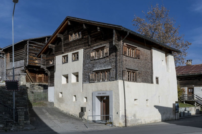
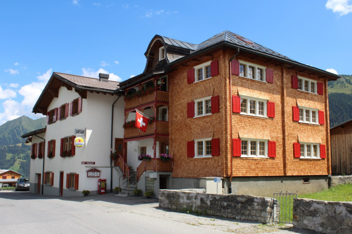
1. Casa d'Angel House of Culture, Lumbrein
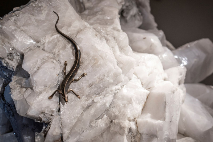
2. Crystal of Péz Regina «Sun of Péz Regina», Lumbrein
3. Crystal of Péz Regina «Star of the Four Winds», Lumbrein
4. The stele of Sietschen
5. Legends from Lumnezia, Carreuls
6. «Gion da Farglix» facts, fiction and fantasy, Farglix
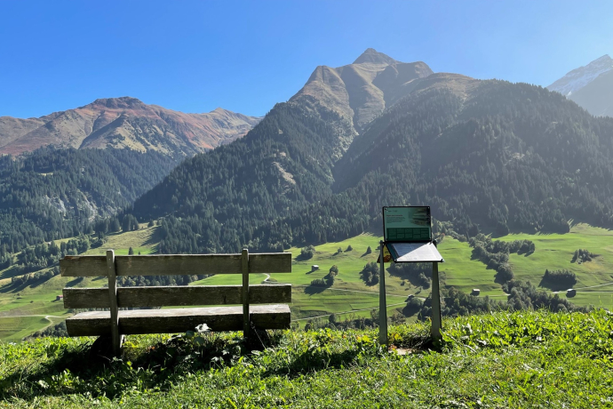
7. The hamlets of Lumbrein /Telescope, Sogn Andriu
8. Bronze Age Hill Settlement Crestaulta, Surin
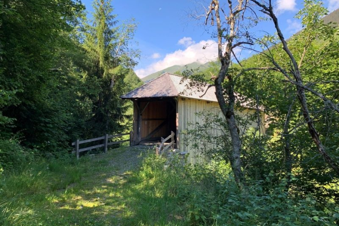
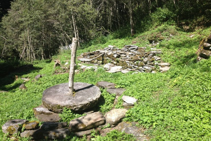
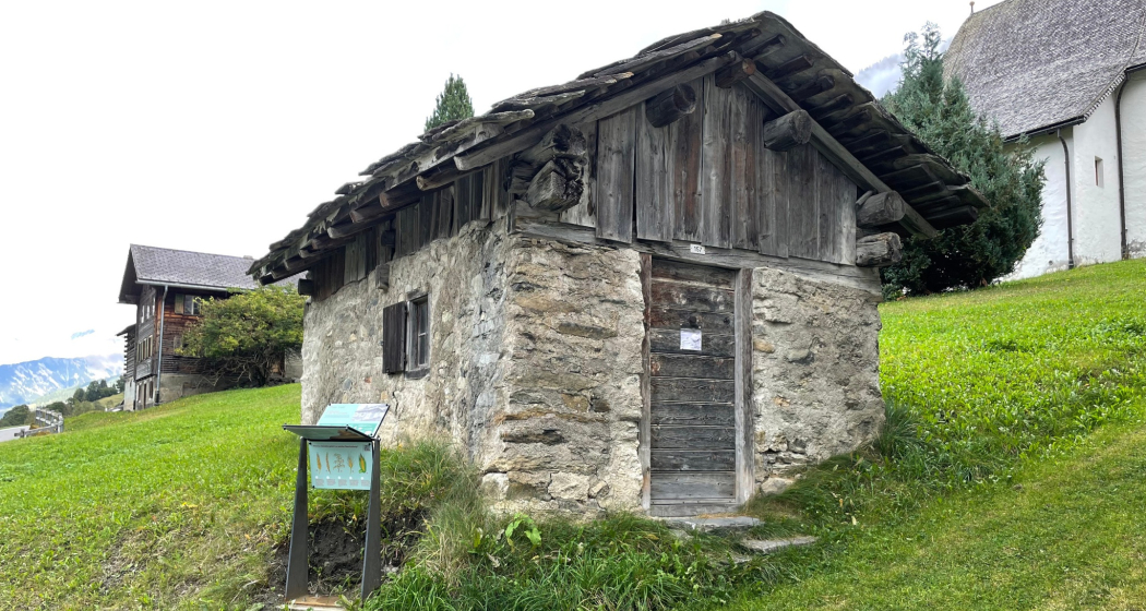
9. Surin Mill/Fire Pit, Surin
10. Bread baking in Val Lumnezia, Surin
11. The hamlets of Lumbrein, Pruastg Dado
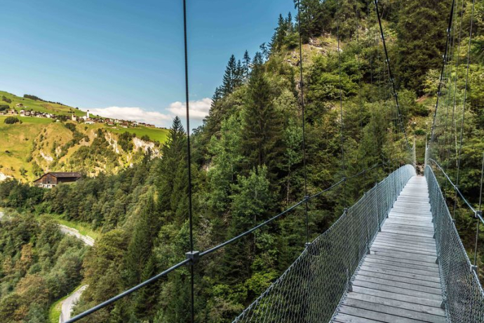
12. Connecting Bridges/Suspension Bridge, Silgin
Geheimtipp
Combine with the forest nature trail between Vrin and Lumbrein.
Ausrüstung
Wegbeschreibung
Anfahrt
Öffentliche Verkehrsmittel
Postbus line 90.441 Ilanz - Vrin, stop Lumbrein, vitg or Lumbrein, Sogn Andriu
Anreise Information
Via Chur A3/A13 via Flims - Ilanz to Lumbrein in der Lumnezia
Parken
Public parking spaces on the school grounds in Lumbrein.
Verantwortlich für diesen Inhalt Surselva Tourism.
Dieser Inhalt wurde automatisiert übersetzt.

Diese Webseite nutzt Technologie und Inhalte der Outdooractive Plattform.
