Schlans circular tour
Leicht
15.4 km
2:10 h
588 Hm
588 Hm
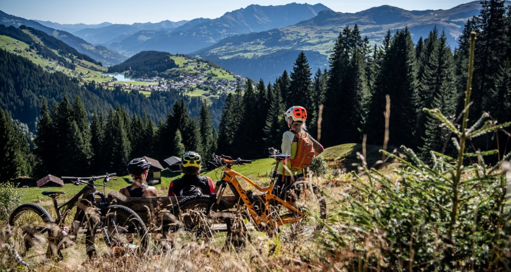
Biker mit Aussicht auf Brigels
In der Region Alp da Schlans

7 Bilder anzeigen

Aufnahme des Bergdorfes Schlans
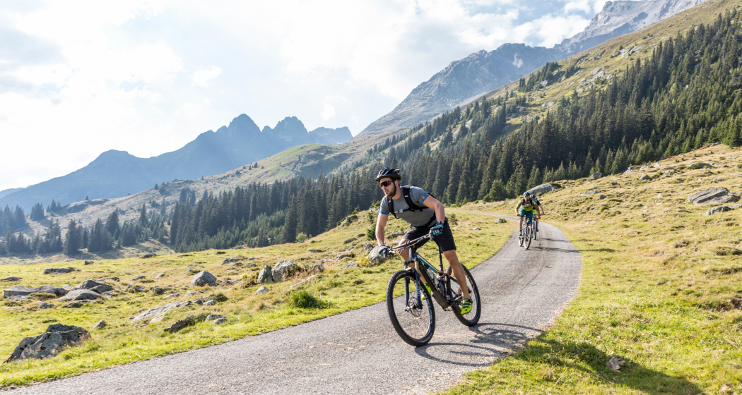
The round tour via Schlans offers a mixture of enjoyable alpine roads and some fun singletrack. You ride past various barbecue spots that invite you to linger.
Technik /6
Kondition 2/6
Höchster Punkt  1587 m
Tiefster Punkt  1029 m
Beste Jahreszeit
Jan
Feb
Mär
Apr
Mai
Jun
Jul
Aug
Sep
Okt
Nov
Dez
Start
Brigels mountain railroads valley station
Ziel
Brigels mountain railroads valley station
Koordinaten
46.770571, 9.067708

Details

Beschreibung

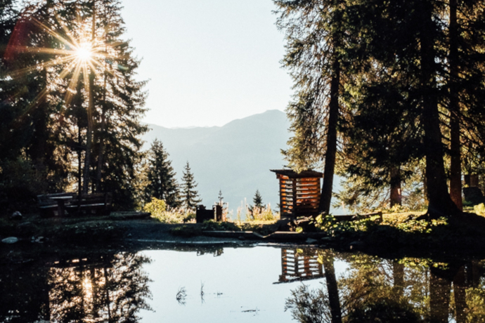
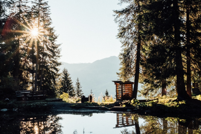
We recommend riding the circular tour in a clockwise direction. The flowing trail of medium difficulty begins in the lower southern part of Brigels in the direction of Dardin. Once in Dardin, you traverse partly on natural roads and partly on asphalt roads to Schlans. Once in Schlans, the route takes you high above the Schlans Alps to the small lake at the edge of the forest, “Lag da Palius Pastg”. The lake is the highest point of the tour. From there, the route leads along a short sinlge trail and later on a natural road, past great viewpoints and barbecue spots back to the village of Brigels. A short and varied circular tour.

The difficulty level S2 is limited to a few hundred meters of singletrail below Brigels. The rest of the tour runs along alpine and side roads and single trails with difficulty level S1.

Geheimtipp

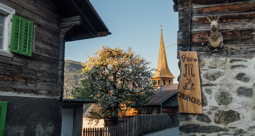
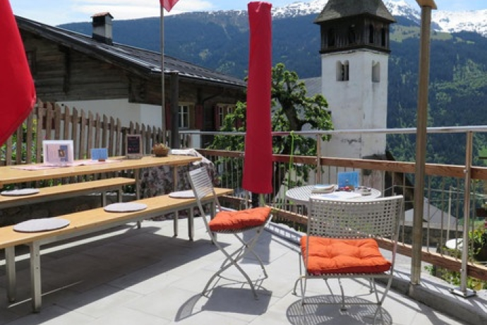
Once you arrive in Schlans, a visit to the “Chispàcius” restaurant is well worthwhile.

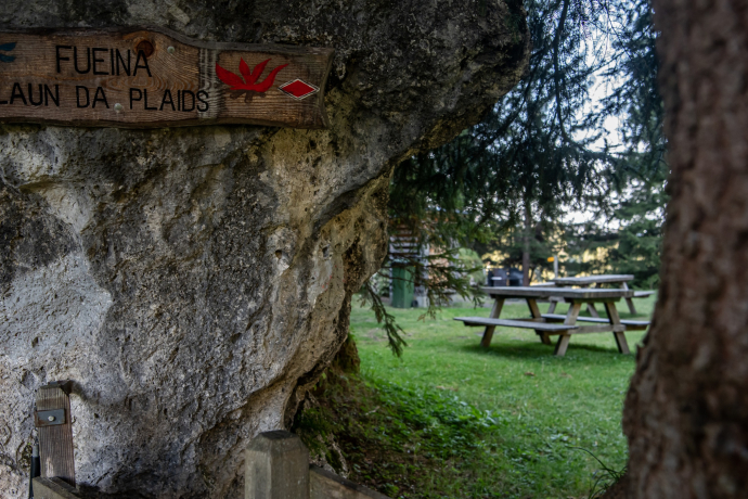
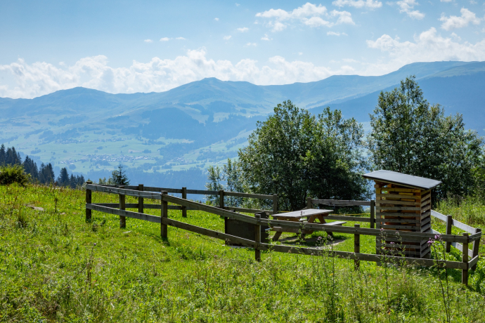
You pass three different barbecue spots on the circular tour. All three invite you to linger.

Sicherheitshinweis

Respect other trail users - trail tolerance!

The tour should not be undertaken in uncertain weather conditions. Weather changes are frequent in the mountains. If a rain front or similar is approaching during the hike, you should turn back in good time.

144 Emergency call, first aid

1414 Mountain rescue REGA

112 International emergency call

Ausrüstung

Mountain bike, helmet, gloves, bike shoes, goggles, rain and sun protection, drink, repair kit, first aid kit

Wegbeschreibung

Brigels valley station - Val Mulin - Dardin - Capeder - Schlans - Palius Pastg - Sogn Giacun - Brigels valley station.

Anfahrt

Öffentliche Verkehrsmittel

From the Grisons cantonal capital of Chur, take the Rhaetian Railway through the spectacular Rhine Gorge to Ilanz and on to Tavanasa. Then take the PostBus line 90.461 Tavanasa - Brigels to the Breil/Brigels stop, casa communala

www.sbb.ch

Anreise Information

On the A13 to Reichenau, then on the main road 19 via Flims to Tavanasa and then up to Brigels

Parken

Parking is available at the parking lots at the valley station of the Brigels cable cars.

Verantwortlich für diesen Inhalt Surselva Tourism.
Dieser Inhalt wurde automatisiert übersetzt.

Outdooractive Logo

Diese Webseite nutzt Technologie und Inhalte der Outdooractive Plattform.