Sentiero Alpino Bregaglia
8 Bilder anzeigen
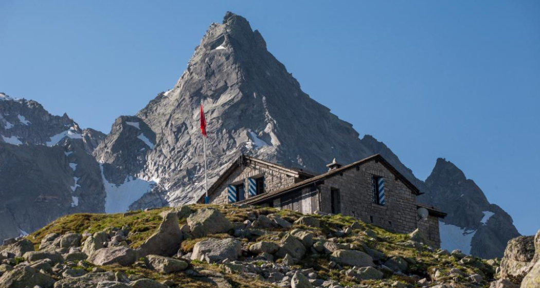
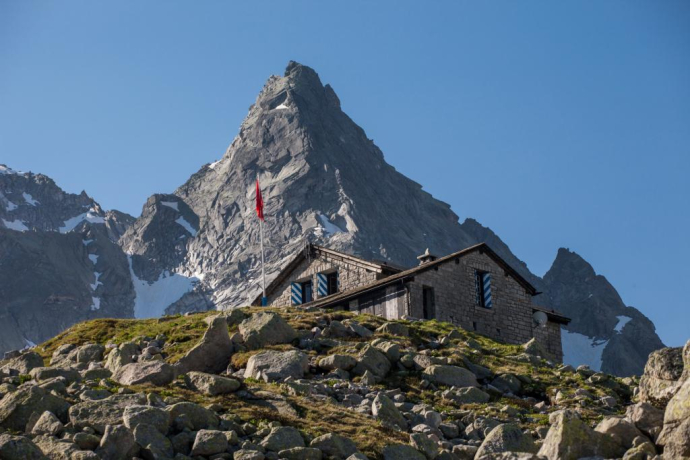
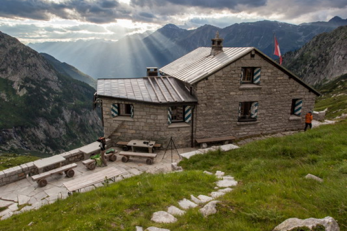
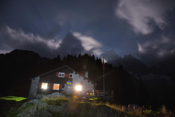
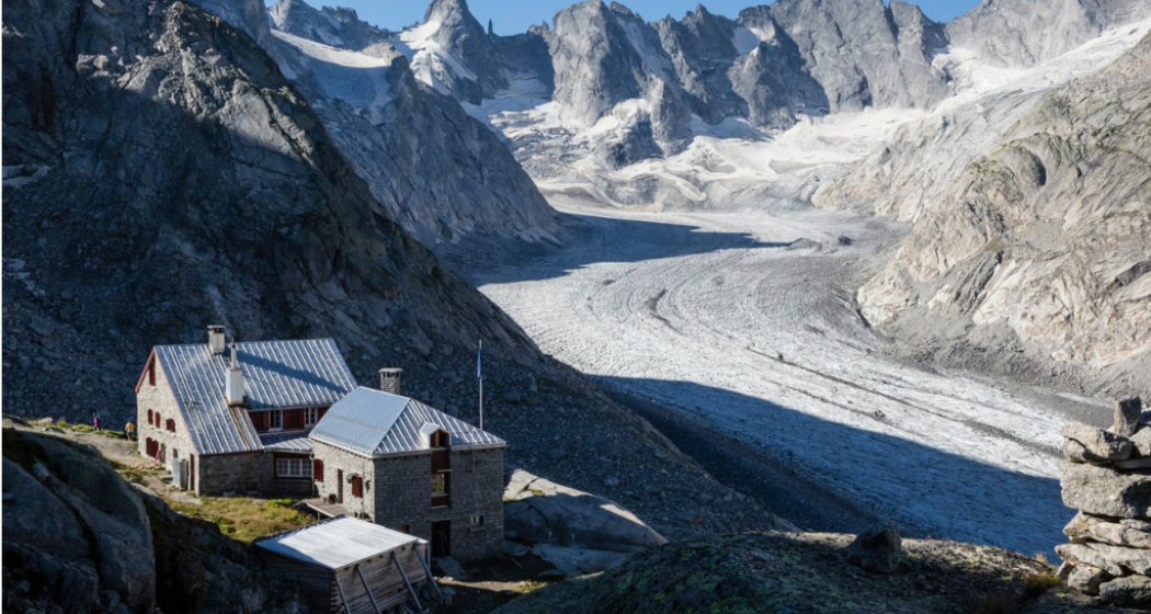
The Sentiero Alpino Bregaglia connects the four Bergell SAC huts. Over five impressive and demanding alpine hiking days, it is possible to hike to the Forno, Albigna, Sciora, and Sasc Furä huts.
! The connecting route between Sciora and Sasc Furä huts will only be completed towards the end of the summer season 2025!
Details
Beschreibung
The Sentiero Alpino Bregaglia is a high alpine trekking through one of the wildest, most pristine areas of the Alpine region, varied and with spectacular views. The route connects the four Bergell SAC huts and consists of five routes, which can partly also be done as day hikes:
- Forno Panorama Route
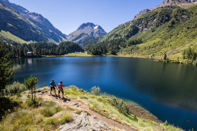
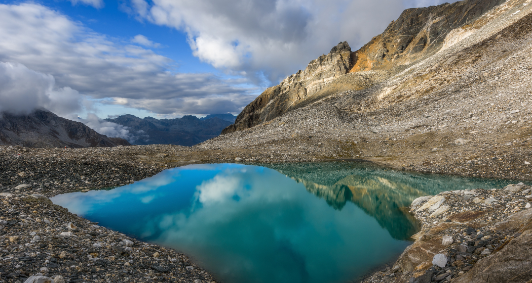
This path deserves its name: It offers the most beautiful views of the surrounding landscape and passes several small mountain lakes in which the nearby mountain peaks are reflected.
About 10 km, ascent from Maloja 1100 m, descent 210 m, duration approx. 5-6 hours, T3+ - Pass da Casnil
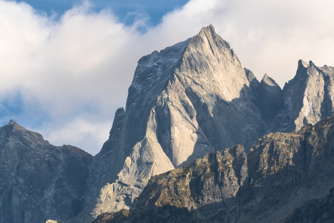
From Pass Casnil Sud you enjoy a magnificent view and look directly at the impressive north face of the Cima dal Cantun. Those lucky may even spot ibex.
About 8.5 km, ascent 750 m, descent 1000 m, duration approx. 5-6 hours, T5 - Pass Cacciabella Sud
About 6.8 km, ascent 730 m, descent 940 m, duration approx. 4-5 hours, T5 - Descent from Sciora hut to Bondo
About 7.8 km, ascent 100 m, descent 1380 m, duration approx. 4-5 hours, T3
- Sciora hut - Larett - Sasc Furä hut
The direct connection between the two huts was buried by a landslide in 2017. From autumn 2025 there will be an alternative route via the very beautiful new Sicora hut path. Until then
Approx. 8.5 km, ascent 815 m, descent 1025 m, duration approx. 5-5.5 hours, T3 - Descent to Bondo (or alternatively a crossing of the Passo della Trubignasca to Val Codera
About 7.7 km, ascent 350 m, descent 1435 m, duration approx. 4-5 hours, T4
Geheimtipp
Book the huts in advance, especially on weekends and during the high season.
Note: The route can be extended with an additional hut overnight by crossing the Passo Trubignasca towards Val Codera after the Sasc Furä hut. This overnight stay at the Rifugio Luigi Brasca can be added directly at the hut upon request.
Sicherheitshinweis
Difficulty:
This is a demanding alpine hike (up to T5) that requires sure-footedness and experience walking in pathless terrain as well as partly freedom from vertigo.
- On the panorama route, caution is advised in early summer when crossing the snowfields below the Pizzi dei Rossi.
- The Pass da Casnil is one of the more difficult sections of the route with T4/T5 rating. Paths are partly exposed and at some points metal chains are provided to make the climbing passages safer and more comfortable. The chains are installed at the beginning of summer. It is possible to encounter snowfields along the way, especially at the start of the season. More information
- The Pass Cacciabella Sud is also challenging. The descent is secured with chains and ladders. T5
Ausrüstung
Potentially ice axe, crampons, harness with rope and carabiner for the equipped sections.
Wegbeschreibung
The route:
Day 1: Forno Panorama Route
Departure is at the Maloja Pass. We hike along the footpath or the road to Lake Cavloc. From here we follow the trail on the valley floor to the fork Forno Valley/Murettopass. Here we still have the option to choose the direct route through Forno Valley to the hut (on the right).
When crossing the Orlegna we reach the trail towards Murettopass. At about 2300 m above sea level, the panorama route to Forno hut branches off to the right over the stream. It passes the Laghetti di Rossi and leads through scree fields and boulder slopes past another lake at about 2750 m to the Forno hut (2574 m).
Day 2: Pass da Casnil
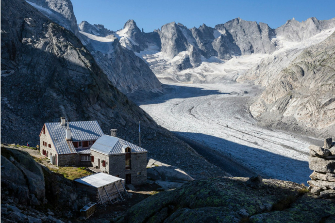
From the hut we descend steep switchbacks from the end moraine to the glacier basin of Val Forno. Going downstream, we cross the glacier stream on a small bridge and then climb steeply southwest over game trails and rock slabs. Below the ridge spur of the Piz Casnil east ridge we reach the chain- and iron step-secured section. Good sure-footedness is required here.
We continue through a wide scree basin toward Pass Casnil Sud. A small valley leads southwest from here to the pass at 2941 m. Arrival at the pass height is another highlight: We enter a lunar landscape like no other - dominated by the north face of the Cima dal Cantun. On the blue-white marked hiking trail we initially traverse some large boulders and then reach a prominent scree ridge and cross it down to the small lakes. From here it is not far to the Capanna da l'Albigna.
Day 3: Pass Cacciabella Sud
From the Albigna hut, we descend to the lake and cross the dam. From here it goes on the blue-white marked hiking trail to the foot of the massive slab walls of Pizzo Frachiccio. We follow the markings and cairns through a beautiful rocky landscape and then over a steep section secured with iron steps and chains to Pass Cacciabella Sud at 2896 m. From here, for the first time, the view opens to the famous granite giants Piz Cengalo and Piz Badile.
On the other side, we encounter some exposed spots on the descent, secured with ladders, chains, and ropes. After the last ladder, Capanna di Sciora (2120 m) is reached in about 30 minutes over scree and moraine fields.
Day 4: Sciora hut - Larett - Bondo
The descent proceeds to about 1900 m on the old hut path. From Naravedar, the new path crosses the steep slopes below Piz Grand and I Mot; the deeply incised side valleys are comfortably crossed on several breathtaking suspension bridges. Upon reaching the valley floor, we follow the comfortable path along the Bondasca to Bondo.
*********************************************** from autumn 2025 ***************************************
Day 4: Sciora hut - Larett - Sasc Furä hut
The descent proceeds to about 1900 m on the old hut path. From Naravedar, the new path crosses the steep slopes below Piz Grand and I Mot; the deeply incised side valleys are comfortably crossed on several breathtaking suspension bridges.
At Selvartigh we reach the lowest point and cross the valley floor of the Bundasca. We cross this with the help of a suspension bridge, which was installed in Bondo until spring 2025. After a short ascent, it goes over the Trubinasca. We follow the path for just under a kilometer, gently ascending eastward until at Jerta we reach the old hut path from the Bondasca valley leading to the Sasc Furä hut. From here the path becomes quite steep and leads about 200 vertical meters through the rock band below the Sasc Furä. The last 200 vertical meters are a bit gentler again and bring us at 1904 m directly to the hut.
Day 5: Descent to Bondo
On the descent we follow the path southward until at the highest point (the actual descent starts now) the path branches left to the Turbinasca Pass. With a slight slope, we cross the slope below the pass up to the rock band that descends from the Pizzi dei Vanni. On a ridge, it goes about 100 vertical meters steeper downhill before at about 1800 m we begin to bypass the Salacina. The stream valleys and ravines must unfortunately be climbed without suspension bridges on this route. Above Luvartigh we meet the red-white path that leads us down to Alp Cugian. We continue descending into the Bondasca valley and soon reach the end of our route at Bondo or Promontogno.
Anfahrt
Öffentliche Verkehrsmittel
PostAuto line 604 from St. Moritz or Chiavenna to the stop Maloja Cad Matè
Anreise Information
Parken
Maloja Order
Verantwortlich für diesen Inhalt Bregaglia Engadin Turismo.

Diese Webseite nutzt Technologie und Inhalte der Outdooractive Plattform.
